What is recorded here
Crockaughrim Cairn sits just west of the summit in rough Donegal mountain territory, an oval of stones 8.8m long, 5.9m wide and 1.25m high, still recognisable beneath heather. It may have marked a ridge, a boundary or a memory for people who moved through that exposed land long before roads existed. Whoever placed those stones understood the shape of the sky and the danger of the mountain, and they left a small answer behind.
An oval-shaped area, 8.8m NNE-SSW × 5.9m and 1.25m high, although heather covered, seems to be a cairn. It is situated just W of the summit of Crockaughrim in rough mountainous territory.
The above description was derived from the 'Archaeological Survey of County Donegal. A description of the field antiquities of the County from the Mesolithic Period to the 17th century.' Compiled by: Brian Lacey with Eamon Cody, Claire Cotter, Judy Cuppage, Noel Dunne, Vincent Hurley, Celie O'Rahilly, Paul Walsh and Seán Ó Nualláin (Lifford: Donegal County Council, 1983). In certain instances the entries have been revised and updated.
Date of upload: 22 September 2008
Crockaughrim Cairn, Ballyliffin is a prehistoric cairn, likely dating to the Neolithic or Early Bronze Age. Its location in a prominent upland position suggests it may have had ceremonial or funerary significance for early communities in the region.
The monument record does not grant public access. Check the route and ask the landowner before entering private land.
- What survives
- Recorded monument
Places near here
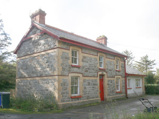 Ballyliffin Railway Stationrailway station · 932 yd
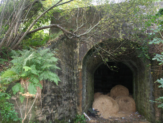 bridgebridge · 1014 yd
 Clehagh Stone RingfortFairy fort / stone ringfort · 1435 yd
 Former Gaddyduff Fairy FortFairy fort / ringfort · 1.1 mi
 Clonmany Early Church GraveyardGraveyard · 1.8 mi
 Glenevin Waterfall WalkOfficial walking route · 2.0 mi
 Glenevin WaterfallWaterfall · 2.4 mi
 Glenevin Waterfall, Clonmanywaterfall · 2.4 mi
 Glendowen craft shopHeritage attraction · 2.6 mi
 Bawn in CarrickabraghyBawn · 3.0 mi
 Carrickabraghy CastleCastle, tower house · 3.1 mi
 Dough Famine VillageHeritage attraction · 3.2 mi