What is recorded here
A house in repair is recorded on the terrier of the Down Survey map of Drumcannon parish (1655-56) at Garrancrobally, now called Crobally. It remains unlocated.
Compiled by: Michael Moore
Date of upload/revision: 08 June 2011
The monument record does not grant public access. Check the route and ask the landowner before entering private land.
- What survives
- Recorded monument
Places near here
 Spring Farmhouse · 23 yd
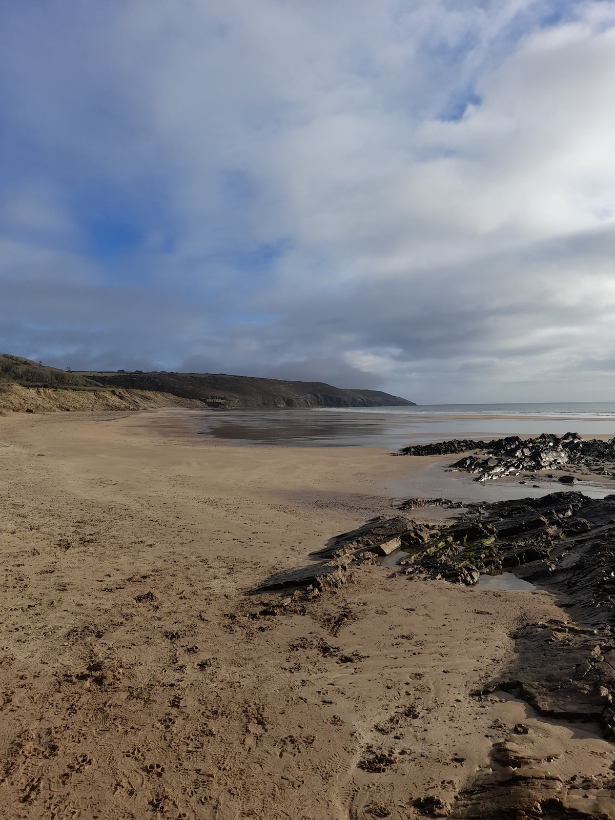 Enclosure in Crobally Upper (middlethird By.)Enclosure · 77 yd
 Pit-burial in Crobally Upper (decies-Within-Drum By.)Pit-burial · 133 yd
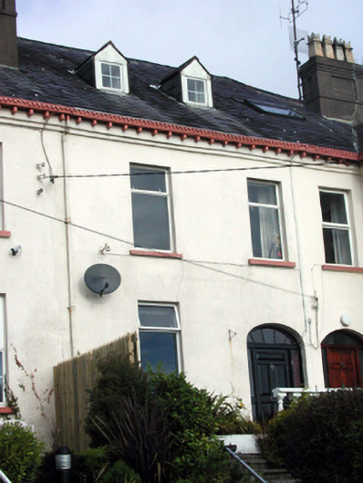 Knockeatonhouse · 494 yd
 Tramore Tourist OfficeVisitor information · 955 yd
 Tourist InformationVisitor information · 1142 yd
 Tramore Dunes WalkWalking route · 1561 yd
 Cannon GunBattlefield · 1714 yd
 Doneraile WalkWalking route · 1.1 mi
 Tramore StrandBeach / strand · 1.6 mi
 Cullen Castle (in ruins)Castle, tower house · 1.8 mi