What is recorded here
On a fairly flat plateau in a karst landscape. A subcircular area (diam. c. 33m) defined by a grassed-over stone wall and visible on Digital Globe (2011-2013) and on OSi orthophotography (MapGenie 2013-2018). A subrectangular enclosure lies c. 95m to the NE.
Compiled by: Mary Tunney
Date of upload: 29 March 2023
The monument record does not grant public access. Check the route and ask the landowner before entering private land.
- What survives
- Recorded monument
Places near here
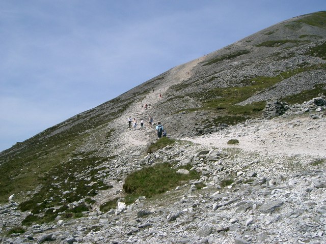 IndicatedEnclosure · 145 yd
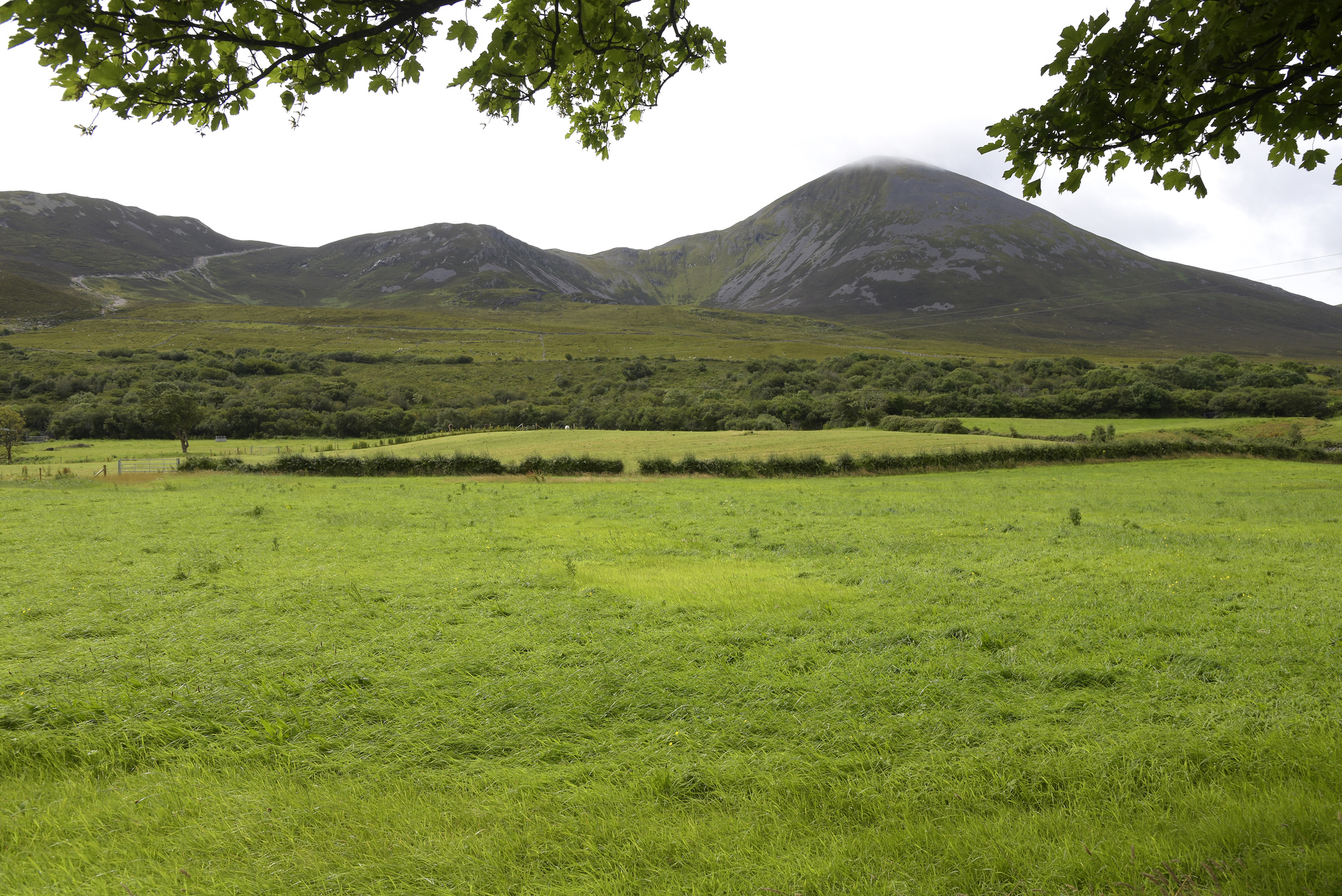 Enclosure in Croagh SouthEnclosure · 240 yd
 Cahermacnaghten CashelHeritage attraction · 710 yd
 Cullaun 5 (C5b)Cave · 1213 yd
 Cullaun 5 (C5)Cave · 1265 yd
 Site of Binroe CastleCastle, unclassified · 1.3 mi
 Penitential station in CahermakerrilaPenitential station · 1.5 mi
 Site of Ballymurphy CastleCastle, tower house · 1.7 mi
 Gregans Castlehouse · 1.8 mi
 Ballyteigue Nature ReserveNature reserve · 3.3 mi
 Slieve ElvaMountain / peak · 3.7 mi
 High CrossHeritage attraction · 4.3 mi