What is recorded here
In pasture, 45m N of a road that marks townland boundary with Goat Island. Group of three cremation pits identified as (BGE 2/29/1) during work associated with the Bórd Gáis Éireann Curraleigh-Limerick gas pipeline (Gowen 1988, 106-07). Described by Gowen (1988, 106-7) as 'the pits occurred within 5m of each other and had a maximum depth of just 4cm. They measured 40-50cm in diameter and were filled with a black silty clay containing very fine fragments of burnt none'.
Compiled by: Fiona Rooney
Date of upload: 20 May 2021
The monument record does not grant public access. Check the route and ask the landowner before entering private land.
- What survives
- Recorded monument
Places near here
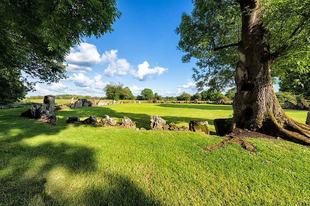 Cultivation ridges in Ballygrennan (coshma By., Bruff Ed)Cultivation ridges · 97 yd
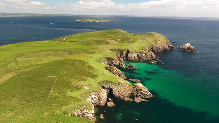 Fulacht fia in Goat IslandFulacht fia · 257 yd
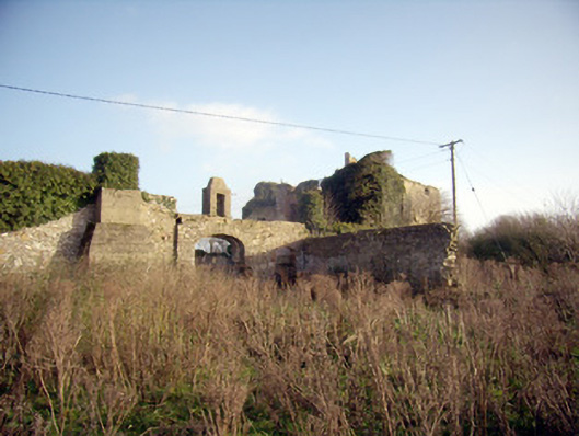 Greenpark Housecountry house · 943 yd
 Ballygrennan Castle (in ruins)Castle, tower house · 1223 yd
 post boxpost box · 1377 yd
 Castle (in ruins)Castle, unclassified · 1.3 mi
 KnockainyMountain / peak · 3.2 mi
 Flat cemetery in Knockainy WestFlat cemetery · 3.8 mi
 St Patrick's WellSpring · 6.1 mi
 Edmund's WellSpring · 6.3 mi
 Ballinvreena LoopVisitor information · 6.3 mi
 SlievereaghMountain / peak · 7.9 mi