What is recorded here
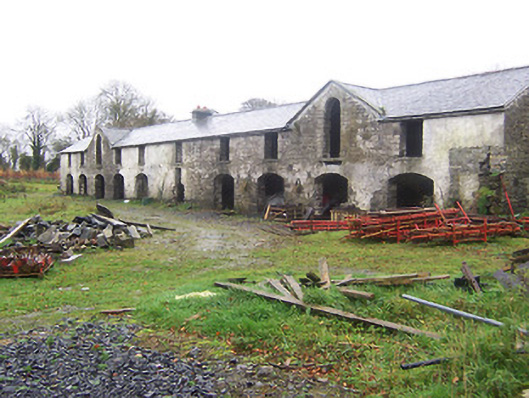
Complex of single and two-storey outbuildings to the rear of Kildevin (15400210), built c.1833 and extended c.1850, now derelict. Building to southwest in use as a threshing mill c.1837. Comprises a detached ten-bay two-storey building to the southwest, c.1833, with gable-fronted sections to the second bay from either end (northwest and southeast) and a single-storey building to the northeast, c.1850, with a double hipped roof, now partially restored. Pitched and gabled natural slate roofs, some sections now collapsed. Built of coursed rubble limestone, partially lime rendered, with square-headed and round-headed openings and segmental-headed carriage-arches, some with brick dressings. Ashlar limestone gate piers on octagonal plan give access to outbuildings from the northeast. Fixtures and fittings now mostly gone. Possible remains of walled garden to the east. Located to the southeast of Kildevin.
A good collection of outbuildings associated with Kildevin (15400210), which retain their early form and character despite their present dilapidated condition. These structures are robustly built using good quality local limestone, which helps them to blend attractively into the surrounding landscape. The earlier building to the southwest with the gable-fronted sections is unusually elegant and quite substantial for an ancillary range associated with a minor mid nineteenth-century country house. Part of this building was apparently used as a threshing mill during the mid nineteenth-century (Ordnance Survey Map 1837). These buildings form part of an interesting group of related structures associated with Kildevin (15400210) and provide and insight into the extensive resources required to maintain a country demesne during the nineteenth century in Ireland.
This does not grant access. Most recorded buildings are privately owned; view them only from public ground unless the owner allows entry.
Places near here
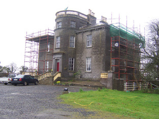 Kildevin Housecountry house · 74 yd
 Partially indicatedEcclesiastical enclosure · 607 yd
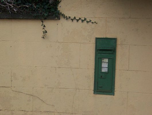 post boxpost box · 743 yd
 CastleCastle, motte · 1313 yd
 IndicatedCross, Wayside cross · 1380 yd
 Coolamber CastleHouse, fortified house · 1452 yd
 Silver FirSilver Fir · 4.1 mi
 Sweet ChestnutSweet Chestnut · 5.1 mi
 Granard MotteMotte-and-bailey castle remains · 5.5 mi
 1798 Monumentmonument · 5.5 mi
 Bridge Memorial (Kenna)Memorial · 5.8 mi
 Clonfin Ambush MemorialMemorial · 6.3 mi
Other information
Photo: National Inventory of Architectural Heritage · Website use allowed for educational or private purposes with source credit