What is recorded here
Indicated is a ruined circular cashel in County Galway, its thirty-six-metre stony bank now hidden beneath mature trees and a field wall. The western edge still shows faint internal facing, while a separate underground passage lies nearby, suggesting the site once served more than passive storage. People may have walked this rough pastureland for centuries, using the fort for shelter or the passage for secret movement during storms.
In level rough pastureland. Poorly preserved circular cashel (diam. 36m) defined by a low stony bank, now obscured by mature trees and a field wall. Traces of internal wall-facing are evident at W. A Man-made underground passage (GA114-062001-) is associated. (McCaffrey 1952, 282, No. 6)
Compiled by: Galway Archaeological Survey, UCG
Date of upload: 1 December 2017
The monument record does not grant public access. Check the route and ask the landowner before entering private land.
- What survives
- Recorded monument
Places near here
 R.C. Chapel (in Ruins)Church · 356 yd
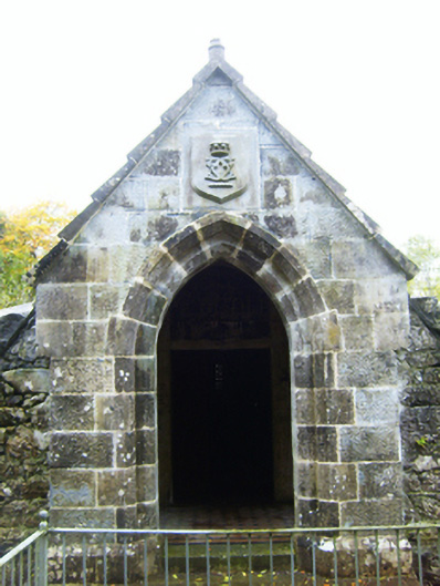 mausoleummausoleum · 365 yd
 CaveMan-made underground passage · 724 yd
 IndicatedEnclosure · 766 yd
 Castle (in ruins)Castle, Anglo-Norman masonry castle · 1403 yd
 Cloghroak Castle (in ruins)Castle, tower house · 1.9 mi
 Drumharsna CastleHeritage attraction · 2.5 mi
 HawthornHawthorn · 2.9 mi
 European ashEuropean ash · 2.9 mi
 Drumacoo Monastic SiteHeritage attraction · 5.6 mi
 Mulroney's IslandIslet · 6.6 mi
 Traught BeachBeach / strand · 8.3 mi