
What is recorded here
In rolling pastureland, formerly part of Creggaclare Demesne. Marked on the OS 6-inch maps as an irregular tree-filled enclosure. It is defined by an irregular bank (Wth 1.5m; int. H 0.6m; ext. H 0.6m) and the interior has been disturbed by digging and the felling of trees. Though classified by McCaffrey (1952, 282, no. 6a) as amuch-denuded oval ‘Earthen fort’ (c. 41m N-S; c. 32m E-W), the monument may be a landscape feature associated with the demesne.
Compiled by: Galway Archaeological Survey, UCG
Date of upload: 27 February 2019
The monument record does not grant public access. Check the route and ask the landowner before entering private land.
- What survives
- Recorded monument
Places near here
 Cregaclarefarmyard complex · 675 yd
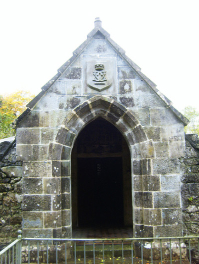 mausoleummausoleum · 722 yd
 Castle (in ruins)Castle, Anglo-Norman masonry castle · 755 yd
 Round Tower (in ruins)Round tower · 853 yd
 DoonFairy fort / earthen ringfort · 1148 yd
 Cloghroak Castle (in ruins)Castle, tower house · 2.0 mi
 Drumharsna CastleHeritage attraction · 2.2 mi
 HawthornHawthorn · 3.1 mi
 European ashEuropean ash · 3.1 mi
 Drumacoo Monastic SiteHeritage attraction · 5.2 mi
 Mulroney's IslandIslet · 6.2 mi
 Kilmacduagh Monastic SiteVisitor information · 8.5 mi
Other information
Photo: Credit not shown in the picture search · Rights wording not checked; contact us if this picture should be removed