What is recorded here
Situated 40m W of the E shoreline of Lough Ennell and N of Rochfort Bay. Listed as Gosling Island and described by O'Sullivan (2004, 94-5) as 'a small, irregular, and elongated islet (approx. diam. 15m), possibly a crannog built on the natural bedrock outcrop at edge of shallows. It has a mid-cairn 5-10m diameter on top, slopes gradually down into the water. It is constructed of large angular blocks, that may have been quarried. There are several rocky outcrops beside it, particularly towards the east. This is a probable natural island, that may have been enhanced for use as a crannog. There are also small crannogs and rock platforms around Rochfort Bay'.
Compiled by: Caimin O'Brien
Date of upload: 14 February 2017
The monument record does not grant public access. Check the route and ask the landowner before entering private land.
- What survives
- Recorded monument
Places near here
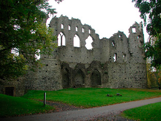 Belvedere Housefolly · 426 yd
 Tudenham Parkcountry house · 439 yd
 Belvedere house and gardensVisitor information · 441 yd
 Mollie Moo's Pet FarmHeritage attraction · 766 yd
 Blind IslandIslet · 1050 yd
 CastleCastle, unclassified · 1295 yd
 Hachured, RahaclowineFairy fort / earthen ringfort · 1555 yd
 Enclosure in LynnEnclosure · 1.1 mi
 Ladestown Ho.House, fortified house · 1.5 mi
 Dysart IslandIsland · 1.6 mi
 Ancient Ring FortWood · 4.8 mi
 WestmeathVisitor information · 5.6 mi