What is recorded here
Standing 40m S of the original shoreline of Lough Ennell, overlooked by the royal ringfort Dún na Sgiath (WM025-145----) 130m to NW and crannóg (WM025-150----) 200m to SSW. Listed as Dysart 5 and described by O'Sullivan (2004, 91) as 'a low, small irregular shaped platform, located almost at the original water’s edge (surrounded by 1m water prior to drainage) and separated from original shoreline by wet, marshy ground. It appears as a rocky platform, sloping gradually to the south towards the lake. Large angular and rounded limestone boulders are exposed on its surface. There is a particularly massive limestone block on the east side, by the water. This may be a natural geological feature. This is not certainly an archaeological site, but it is certainly a quite distinctive feature along this level foreshore, strongly resembling a crannog'.
Compiled by: Caimin O'Brien
Date of upload: 15 February 2017
The monument record does not grant public access. Check the route and ask the landowner before entering private land.
- What survives
- Recorded monument
Places near here
 Hachured, Dun-na-SgiathFairy fort / earthen ringfort · 152 yd
 CastleCastle, tower house · 244 yd
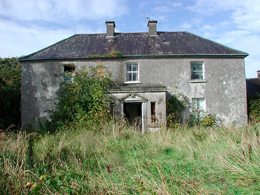 Kilcooley Housefarm house · 566 yd
 OutlinedCastle, unclassified · 613 yd
 Dysart IslandIsland · 1353 yd
 Great IslandBastioned fort · 1507 yd
 Ash IslandIslet · 1673 yd
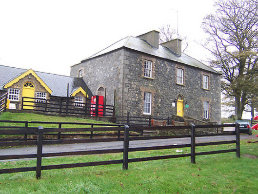 Lilliput Househouse · 1694 yd
 Ardan WoodWood · 7.1 mi
 Bonfire HillMountain / peak · 7.5 mi
 Kilmalady HillMountain / peak · 9.1 mi
 High WoodWood · 9.7 mi