What is recorded here
Lough Lea was a rectangular lake (dims. c. 400m E-W; c. 300m N-S) with a large peninsula attached to the S shore in 1837, but is now a collection of small pools, one of which (dims. c. 120m E-W; c. 90m N-S) is at the SE angle of the original lake and c. 90m W of this location. Described in 1994 as a crannog (NMI file), but no feature is visible at ground level. Archaeological testing (11E0076) c. 50m to the NE at the closest point produced no related material (Hurley 2011).
Compiled by: Michael Moore
Date of revised upload: 20 April, 2015
Amended: 4 February 2020
The monument record does not grant public access. Check the route and ask the landowner before entering private land.
- What survives
- Recorded monument
Places near here
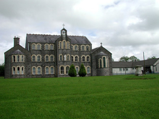 Convent of Mercyconvent/nunnery · 423 yd
 Saint John's Church (Bumlin)church/chapel · 591 yd
 IndicatedFairy fort / earthen ringfort · 663 yd
 Sweet ChestnutSweet Chestnut · 1127 yd
 Pedunculate OakPedunculate Oak · 1314 yd
 Strokestown House GardensHeritage attraction · 1584 yd
 Strokestown ParkHeritage attraction · 1.1 mi
 CastleCastle, unclassified · 2.0 mi
 Slieve BawnMountain / peak · 4.6 mi
 Leitrim CastleCastle, unclassified · 4.8 mi
 War of Independence Commemorative Military MemorialMemorial · 5.8 mi