What is recorded here
Indicated is a crannog in Cranberry Island, County Roscommon, Ireland. The site appears as a small island near the north-west shore of Cranberry Lough on the 1837 and 1925 Ordnance Survey maps, but siltation has since joined it to the land. The resulting peninsula tip is lower than the surrounding area, holds coniferous trees, and remains overgrown with sallies despite lacking visible artificial construction.
Marked as a small island (diam. c. 15m) close to the NW shore of the triangular S part (dims c. 250m NE-SW; c. 200m N-S) of Cranberry Lough on the 1837 and 1925 eds of the OS 6-inch map. It is now attached to the NW shore. The tip of the peninsula (diam. c. 20m) is lower than the rest and planted with some coniferous trees. It is overgrown with sallies while the lake to the S is becoming silted. There is no evidence of artificial construction, but it may well have a stone core and be a crannog.
Compiled by: Michael Moore
Date of revised upload: 23 November, 2015
The monument record does not grant public access. Check the route and ask the landowner before entering private land.
- What survives
- Recorded monument
Places near here
 Castle ParkCastle, unclassified · 950 yd
 Religious houseReligious house, Augustinian, of Arrouaise nuns · 1595 yd
 IndicatedFairy fort / stone ringfort · 1.3 mi
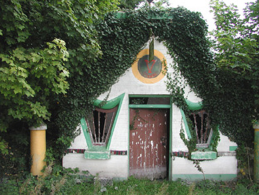 Millar's Harp Houseshop/retail outlet · 1.7 mi
 Embanked enclosureFairy fort / earthen ringfort · 1.8 mi
 Newcomen CastleCastle, unclassified · 2.1 mi
 Ardcarn IslandsIslet · 4.1 mi
 Split HillMountain / peak · 4.2 mi
 Sheep HillMountain / peak · 4.4 mi
 Clooncoran IslandIsland · 4.8 mi
 West WoodWood · 6.0 mi
 LismoneyForest · 7.3 mi