What is recorded here
Courthoyle Old was a ringwork castle for the Howel family, who held Carrickbyrne from the twelve hundreds into the fifteen hundreds. The oval earthworks measured ninety metres east to west and seventy metres north to south on the gentle western slope beneath Carrickbyrne Hill. Farm buildings later crowded the west and south edges, but a low earthen bank and a crouching passage near the tower house remained visible until about 1970. The place still carries the weight of that long Howel occupation, even though the fields have almost erased its shape.
Marked as an oval embanked enclosure (ext. dims. c. 90m E-W; c. 70m N-S) impinged on by farm buildings at the W and S and with the tower house (WX035-014001-) on the perimeter at S on the 1839 ed. of the OS 6-inch map. It is situated on a gentle W-facing slope at the W foothills of Carrickbyrne Hill. There is no evidence of an enclosure at a developed farm complex, but it is described locally as a low earthen bank (Wth c. 2m; H c. 0.5m) that survived until c. 1970 when a possible Man-made underground passage was found running NE from the tower house. This is described as a passage in which a person could crouch, but it may have been a drain. The enclosure may have been a ring-work as the ‘house of Hoyle of Karrothobren (Carrickbyrne)’ is mentioned in a description of the boundary of Ross wood in a charter of Richard Marshal dated 1232-3 (Orpen 1934, 55). The Howel family were in Ireland since at least 1180 and held Carrickbyrne by half a knight’s fee into the 15th century (Brooks 1950, 100-01).
Compiled by: Michael Moore
Date of upload: 15 October, 2012
The monument record does not grant public access. Check the route and ask the landowner before entering private land.
- What survives
- Recorded monument
Places near here
 Man-made underground passage in Courthoyle OldMan-made underground passage · 14 yd
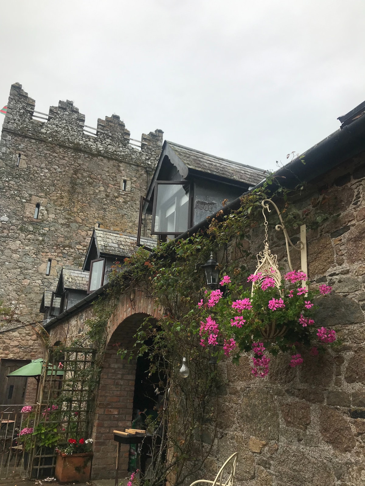
 Castle in ruinsCastle, tower house · 24 yd
 Embanked enclosureFairy fort / earthen ringfort · 282 yd
 Carrickbyrne HillMountain / peak · 1122 yd
 kilnkiln · 1147 yd
 Browne-Clayton Columnmonument · 1431 yd
 Castle (in ruins)Castle, tower house · 1.8 mi
 Glenour MonumentMemorial · 3.4 mi
 Carrickmastia HillMountain / peak · 3.6 mi
 Forest Of The DunbrodyForest · 4.4 mi
 Carrig-On-BannowVisitor information · 9.5 mi
 1798 MemorialMemorial · 9.6 mi