What is recorded here
Indicated is a broken fairy fort in County Cork, not a distant myth but a farmyard boundary where human hands and local belief both shaped the same earth. Its remaining bank still marks the edge of a field, while the missing half has become a gap in the story rather than a hole in the ground. That is what makes it alive: the place still works, but it stops explaining itself.
In pasture, at N side of farmyard. Depicted as hachured circular enclosure (diam. c. 30m) on 1842 OS 6-inch map; W half removed on 1904 and 1937 OS 6-inch maps. Arc formed by earthen bank survives to N and NE incorporated into field fence system.
The above description is derived from the published 'Archaeological Inventory of County Cork. Volume 3: Mid Cork' (Dublin: Stationery Office, 1997). In certain instances the entries have been revised and updated in the light of recent research.
Date of upload/revision: 14 January 2009
The monument record does not grant public access. Check the route and ask the landowner before entering private land.
- What survives
- Recorded monument
Places near here
 IndicatedFairy fort / earthen ringfort · 1139 yd
 Fulachta FiadhFulacht fia · 1351 yd
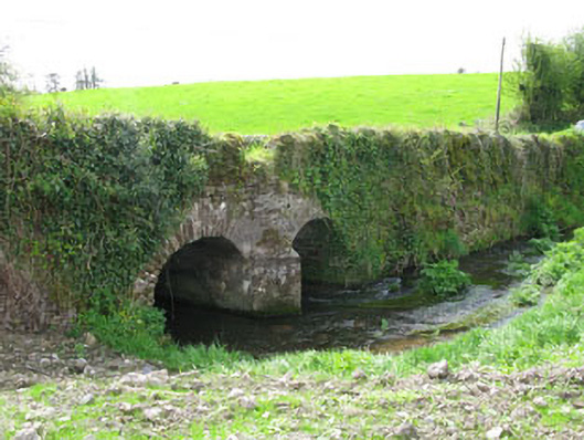 Courtbrack Bridgebridge · 1384 yd
 Castle View Housefarm house · 1568 yd
 Ballyvodane Castle (in Ruins)Castle, unclassified · 1.2 mi
 Castle (Site of)Castle, unclassified · 1.9 mi
 Pairc Ath Na hEornaMemorial · 2.8 mi
 Pakie HoganMemorial · 3.2 mi
 Lyradane MountainMountain / peak · 3.3 mi
 New TipperaryVisitor information · 3.7 mi
 Ballyanly Inniscarra Slí na SláinteWalking route · 3.8 mi
 Rock HillMountain / peak · 4.0 mi