What is recorded here
Indicated is a collapsed stone ringfort in County Cavan, Ireland, preserving a circular cashel nearly forty metres across. Its drystone wall has fallen in places, yet the northern entrance and raised ground remain visible. A forgotten lean-to may have stood inside the southeast wall, but that shape has vanished entirely. The fort still marks human presence long before modern memory.
Depicted as a circular enclosure with the designation 'Fort' on OS 1836 ed. Raised circular area (int. dims. 39.6m NW-SE; 39.4m NW-SE) enclosed by a largely collapsed drystone wall. Original entrance at N. An earlier report (OPW 1969) recorded a possible lean-to structure inside the cashel wall at SSE. This feature is no longer identifiable.
The above description is derived from the published 'Archaeological Inventory of County Cavan' (Dublin: Stationery Office, 1995). In certain instances the entries have been revised and updated in the light of recent research.
Date of upload/revision: 22 December 2008
The monument record does not grant public access. Check the route and ask the landowner before entering private land.
- What survives
- Recorded monument
Places near here
 Mass-rock in KnocknagartanMass-rock · 614 yd
 Saint Bartholomew's Catholic Churchchurch/chapel · 635 yd
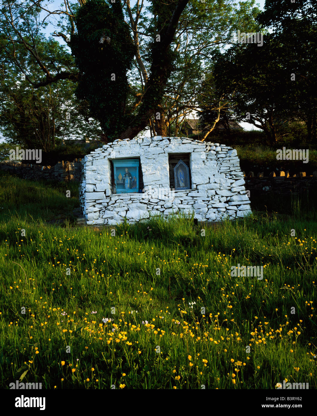 Holy well in KnocknagartanHoly well · 708 yd
 Munterconnaught Churchchurch/chapel · 937 yd
 Knocknagartan NorthIslet · 989 yd
 Garrets IslandIslet · 1046 yd
 Knockatemple WoodlandWood · 1134 yd
 Rahardrum Sand BankWood · 1.2 mi
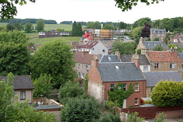 MoatCastle, motte and bailey · 1.2 mi
 RahardrumCastle, unclassified · 1.3 mi
 Ramor Aontaithe C.L.G. Dolan ParkMemorial · 1.4 mi
 Welcome to VirginiaVisitor information · 1.5 mi