
What is recorded here
Enclosure in Corrinenty is a subrectangular grass area bounded by earthen banks at the SE end of a low rise beside a stream that flows toward Shantonagh Lough. Its narrow stone entrance and projecting eastern platform suggest people lived there during the late medieval or post-medieval period, shaping the bank into a usable edge rather than leaving it as a useless ridge. The field banks that later swallowed its southern edge show how quickly human boundaries can be remade, but the enclosure still holds its shape in the damp Monaghan landscape.
Located at the SE end of a low rise with rock outcrop. It is in a low-lying landscape with a small SE-NW stream that runs into Shantonagh Lough c. 2km to the NW just 25m to the E. This is a subrectangular grass-covered area (dims 15.3m N-S at W to 19.8m N-S at E; 12.6m E-W) defined by earthen banks (at N: Wth 1.6m; H c. 0.1-0.3m) with a small rectangular platform (dims c. 6m N-S; 4.5m E-W) projecting E at the S end of the E bank, probably the result of the ancient levelling of the bank here. The bank at S (Wth 2.4m; int. H 0.3m; ext. H 0.4m) was incorporated in a field bank that extended W to meet a WNW-ESE field bank that is marked on the 1907 edition of the OS 6-inch map. There is a style entrance (Wth c. 0.7m) at the S end of the W bank consisting of two stones set transversely with an upright stone between them. It is probably a late medieval or post-medieval settlement.
The above description is derived from the published 'Archaeological Inventory of County Monaghan' (Dublin: Stationery Office, 1986). In certain instances the entries have been revised and updated in the light of recent research.
Revised by: Michael Moore
Date of revision: 31 January 2018
The monument record does not grant public access. Check the route and ask the landowner before entering private land.
- What survives
- Recorded monument
Places near here
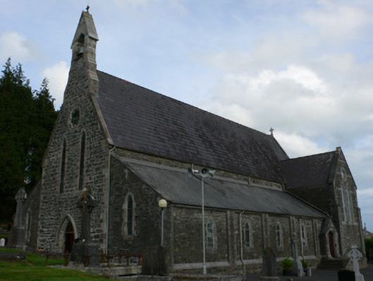 Saint Michael's Catholic Churchchurch/chapel · 1.0 mi
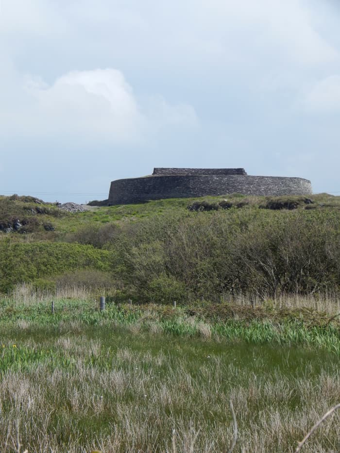 Fairy fort / stone ringfort in Bocks LowerFairy fort / stone ringfort · 1.0 mi
 IndicatedCrannog · 1.2 mi
 Tally WoodWood · 1.3 mi
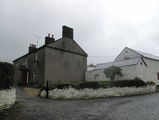 Farm Hillfarmyard complex · 1.7 mi
 Rock IslandIslet · 2.8 mi
 Gully IslandIslet · 2.9 mi
 RaferaghMountain / peak · 3.0 mi
 Sillan LakeshoreWood · 3.7 mi
 CarrickcreenyMountain / peak · 3.7 mi
 Bawn in LisdrumskeaBawn · 3.7 mi
 TobernagalliaghSpring · 4.0 mi
Other information
Photo: Credit not shown in the picture search · Rights wording not checked; contact us if this picture should be removed