
What is recorded here
Indicated is a ruined stone fort in County Cavan, Ireland, where a collapsed wall still surrounds a circular space twenty-six metres across. Beech trees press against the inside of the rocks, blurring the boundary between made architecture and living growth. The entrance has vanished, suggesting the fort stopped inviting human entry and became a vessel for memory, dream or forgotten ritual.
Marked 'Fort' on OS 1836 eds. Circular area (int. diam. 26.5m) enclosed by a partly collapsed drystone wall. Original entrance not recognisable. A ring of beech trees skirts the internal face of the wall.
The above description is derived from the published 'Archaeological Inventory of County Cavan' (Dublin: Stationery Office, 1995). In certain instances the entries have been revised and updated in the light of recent research.
Date of upload/revision: 22 December 2008
The monument record does not grant public access. Check the route and ask the landowner before entering private land.
- What survives
- Recorded monument
Places near here
 Ballaghanea Portal TombArchaeological place · 1024 yd
 RahardrumCastle, unclassified · 1486 yd
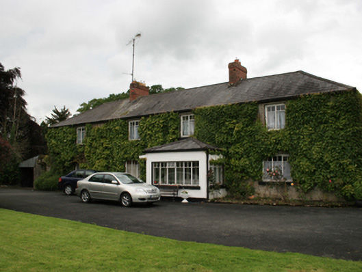 farm housefarm house · 1568 yd
 Sessile OakSessile Oak · 1670 yd
 CornasheskMountain / peak · 1734 yd
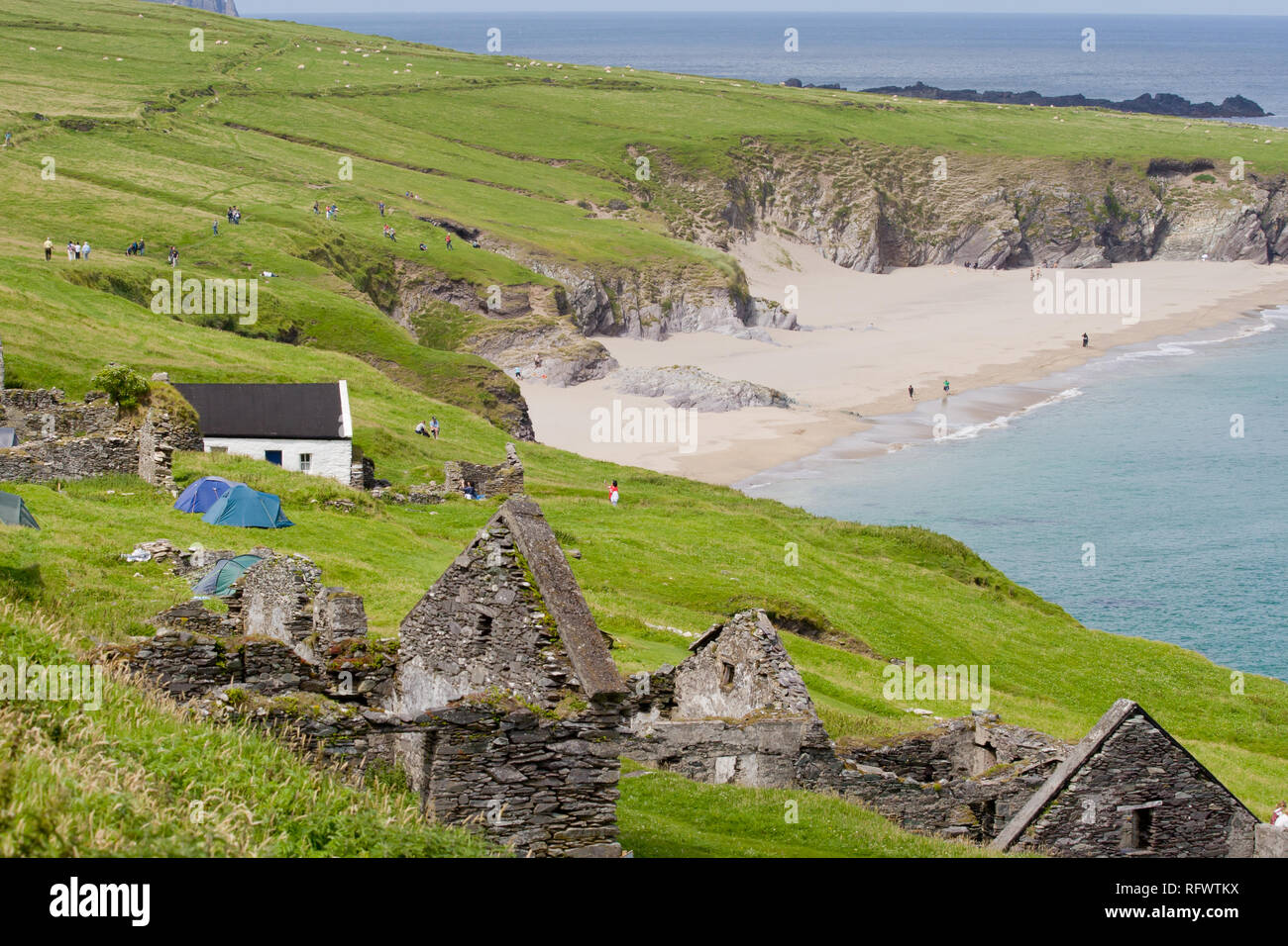 Ballaghanea IslandIslet · 1.0 mi
 Ballaghanea Island SouthIslet · 1.0 mi
 Ramor Aontaithe C.L.G. Dolan ParkMemorial · 1.0 mi
 Rahardrum Sand BankWood · 1.1 mi
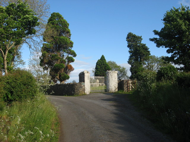 Grave YardGraveyard · 1.2 mi
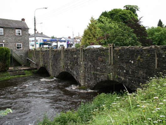 bridgebridge · 1.3 mi
 Welcome to VirginiaVisitor information · 1.5 mi
Other information
Photo: Credit not shown in the picture search · Rights wording not checked; contact us if this picture should be removed