What is recorded here
Excavation is a charcoal-rich pit beside the Newry River estuary in County Louth, Ireland, dated to 3336-2943 BC in the Middle Neolithic period. It measured about 3m by 2.4m and contained broken, burnt stones with remains of oak, ash, hazel and blackthorn. The pit may have marked a hearth, a waste dump or a ritual deposit, while nearby kilns and a habitation suggest the ridge was a busy edge of human life.
Situated on a slight gravel ridge just above the high water mark on the SW shore of the Newry River estuary. Archaeological excavation (E 4498) in advance of a new bridge recorded a large pit (dims c. 3m x c. 2.4m; max. D 0.56m) filled with a charcoal-rich soil that has inclusions of broken and burnt stones. Samples of oak, ash, hazel and blackthorn were identified but the lithic assemblage consisted of debris. A radiocarbon determination of 3336-2943 BC in the Middle Neolithic period is recorded. The habitation (LH002-012001-) is c. 10m to the S and early medieval metalworking and corn-drying kilns are c. 20m to the NE. (Walsh 2015, 301-02)
Date of upload: 25 October, 2016
The monument record does not grant public access. Check the route and ask the landowner before entering private land.
- What survives
- Recorded monument
Places near here
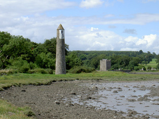 Newry River Lighthouse (Rear)beacon · 28 yd
 Ecclesiastical site in CornamucklaghEcclesiastical site · 223 yd
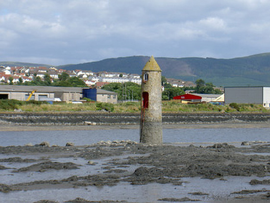 Newry River Lighthouse (Front)beacon · 278 yd
 Narrow Water KeepHeritage attraction · 463 yd
 TOWER-HOUSE AND BAWN: NARROW WATER CASTLE in Narrow WaterTOWER-HOUSE AND BAWN: NARROW WATER CASTLE · 478 yd
 Narrow Water WatchtowerVisitor information · 479 yd
 Warrenpoint ambushambush · 490 yd
 Narrow Water CastleCastle · 927 yd
 Fulacht fia in CornamucklaghFulacht fia · 1469 yd
 Joanne ReillyMemorial · 1720 yd
 Anglesey MountainMountain / peak · 1.5 mi
 Ring of Gullion Way - Section 2Walking route · 1.9 mi