What is recorded here
Magic and life are entangled there. It is an earthen ring in County Leitrim, not a passing fantasy. The chamber is twenty-one metres wide, narrow enough to face but large enough to transform. Its shallow bank and missing eastern edge invite participation rather than passive observation.
Situated on a gentle SE-facing slope. It is visible as a slight circular feature on aerial photographs (GSIAP: G, 156-7). This is a grass and reed-covered subcircular area (int. dims 21m E-W; 18m N-S) defined by an earthen bank (Wth 6.5m; H 0.35m), which has been removed at E. There is no visible fosse or entrance.
The above description is derived from 'The Archaeological Inventory of County Leitrim' compiled by Michael J. Moore (Dublin: Stationery Office, 2003). In certain instances the entries have been revised and updated in the light of recent research.
Date of upload: 23 September 2008
This remains an important historical record, but the official description says the monument is no longer visible or has been destroyed. The monument record does not grant public access. Check the route and ask the landowner before entering private land.
- What survives
- No visible remains or recorded as destroyed
Places near here
 LisconorFairy fort / earthen ringfort · 749 yd
 IndicatedFairy fort / earthen ringfort · 1370 yd
 Leabaidh DermotCave · 1.3 mi
 Sheemore Ambush MemorialMonument · 1.5 mi
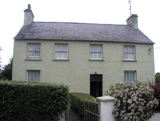 schoolschool · 2.1 mi
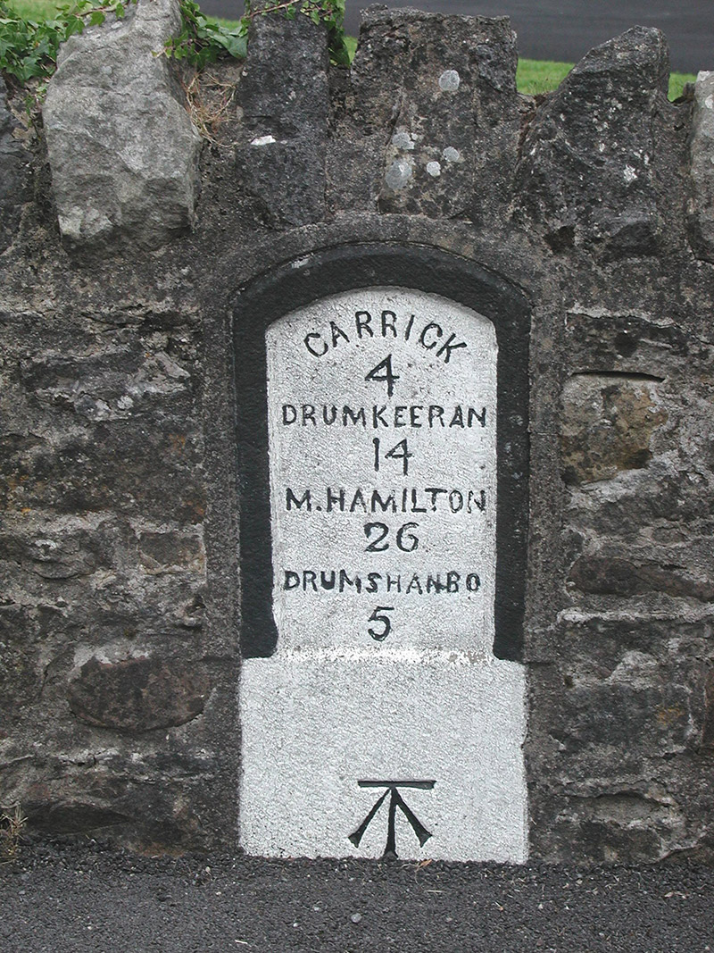 milestone/milepostmilestone/milepost · 2.2 mi
 InishnagonIsland · 2.2 mi
 Shannon-Erne WaterwayVisitor information · 2.2 mi
 Sit of Breifny CastleCastle, tower house · 2.3 mi
 Battle of Áth an Chipbattle · 2.4 mi
 Rusheen IslandIslet · 3.0 mi
 PortCastle, unclassified · 3.1 mi