What is recorded here
Indicated is a fairy fort or stone ringfort in Cornacarta, County Roscommon, Ireland. The subcircular site measures 29 metres east-west and 26 metres north-south towards the bottom of a south-facing slope. A stone spread defines the boundary with traces of original facing stones, though no entrance remains visible. Another rath stands approximately 190 metres to the west-northwest.
Towards the bottom of a S-facing slope. Subcircular overgrown area (dims. 29m E-W; 26m N-S), which remains unplanted in a coniferous forest, defined by a stone spread (at W: Wth 0.8m; int. H 0.45m; ext. H 0.8m; at S: Wth 3.8m; int. H 0.3m; ext. H 1.4m) partly rebuilt as field walls and with traces of facing stones (original Wth 1.8m), but there is no visible entrance. Rath (RO003-013001-) is c. 190m to the WNW.
Compiled by: Michael Moore
Date of upload: 24 August 2010
The monument record does not grant public access. Check the route and ask the landowner before entering private land.
- What survives
- Recorded monument
Places near here
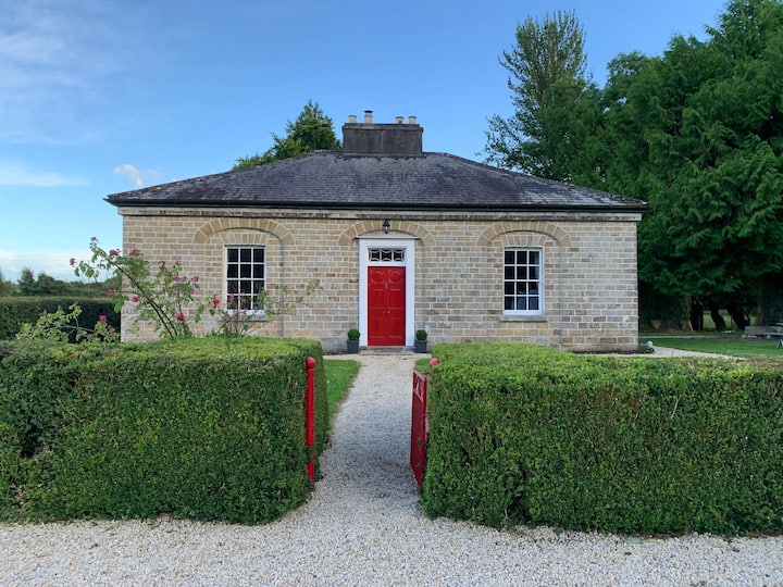 Enclosure in AghagowlaEnclosure · 252 yd
 Sweat Ho. (Disused)Sweathouse · 1660 yd
 IndicatedChurch · 1.2 mi
 Templecaleen (in Ruins)Church · 1.2 mi
 MoatCastle, motte · 1.3 mi
 The CopseWood · 1.5 mi
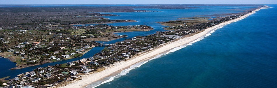 Long IslandIslet · 1.6 mi
 Loughbrick BayBay · 2.1 mi
 Muck IslandIslet · 2.1 mi
 Smutternagh WoodWood · 2.6 mi
 Ballinafad CastleCastle · 3.0 mi
 Battle of the Curlew Mountains (1599)Battlefield · 3.5 mi