
What is recorded here
On the external side of Annagh graveyard (SL046-026001-) towards the E end of a scarp which forms the S boundary of the graveyard. Named 'Corn Kiln' on the 1838 OS 6-inch map. The remains consist of a semicircular grass-covered projection (max. dim. 2m E-W). No details of the structure can be seen though stones can be felt beneath the sod and bramble cover.
The above description is derived from the published 'Archaeological Inventory of County Sligo' compiled by Ursula Egan, Elizabeth Byrne, Mary Sleeman with Sheila Ronan and Connie Murphy (Dublin Stationery Office, 2005).
Date of upload: 18 January 2008
The monument record does not grant public access. Check the route and ask the landowner before entering private land.
- What survives
- Recorded monument
Places near here
 AltarPenitential station · 59 yd
 St. Patricks WellHoly well · 226 yd
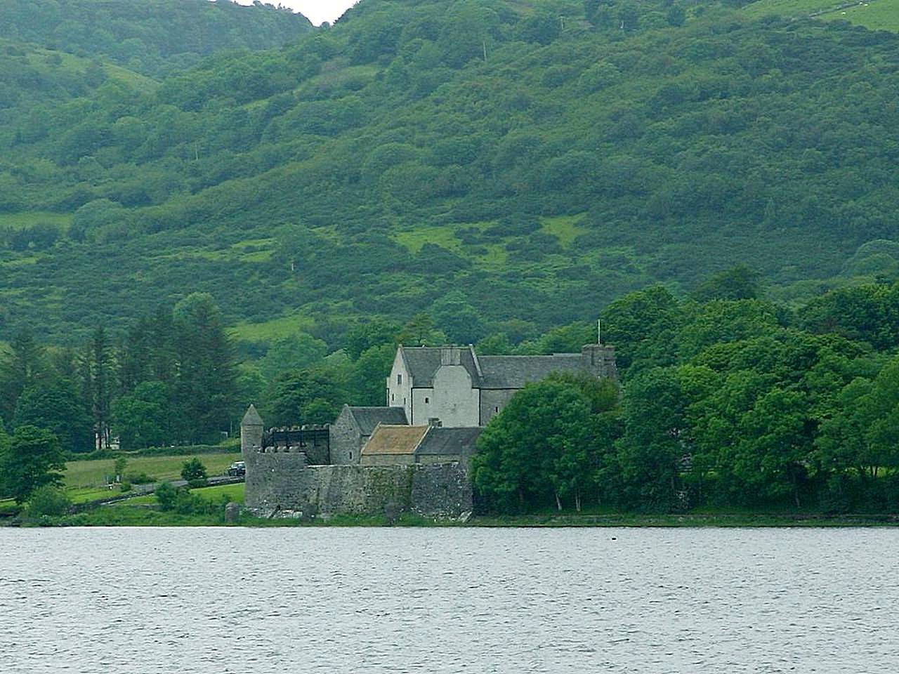 IndicatedCrannog · 489 yd
 Bawn IslandIslet · 1088 yd
 CastleBawn · 1174 yd
 Church in Inchmore IslandChurch · 1.5 mi
 Rose PointHeadland · 1.6 mi
 Castle PointHeadland · 2.3 mi
 Castle (in Ruins)Castle, unclassified · 2.3 mi
 Inch IslandIslet · 2.5 mi
 Square WoodForest · 2.7 mi
 Gray's WoodForest · 2.9 mi
Other information
Photo: Credit not shown in the picture search · Rights wording not checked; contact us if this picture should be removed