
What is recorded here
The Bull is an islet in County Cork, Ireland. Perhaps the name arrived before memory, spoken by fishermen who saw the rock rise like a charging shoulder instead of asking why. Maybe the sea still pushes against that shape, making the water foam and roar in the dark. Imagine standing on the cork shore at low tide, watching the islet hold its ground while the whole ocean rages around it.
The Bull is recorded as a islet in County Cork. Its open map record supplies this location and any linked names or public references.
The Bull is a small islet located off the coast of County Cork, Ireland, and is noted in historical and geographical records for its distinctive shape resembling a bull's head. While specific historical events or notable inhabitants are not well-documented, it is part of the rich maritime and coastal landscape of the Irish coast.
Places near here
 CarrigleamoreIslet · 580 yd
 Eyeries - Creha Quay LoopWalking route · 686 yd
 Eyeries - Coastguard Station LoopWalking route · 753 yd
 Eyeries IslandIslet · 1042 yd
 Pallas StrandBeach / strand · 1051 yd
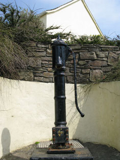 water pumpwater pump · 1174 yd
 Drehidagaddy BrBridge · 1189 yd
 Wild Atlantic WayVisitor information · 1.1 mi
 Wedge tomb in BofickilWedge tomb · 1.3 mi
 Grave YdGraveyard · 1.4 mi
 TrabaneBeach / strand · 1.5 mi
 Miskish MountainMountain / peak · 1.9 mi
Other information
Photo: Credit not shown in the picture search · Rights wording not checked; contact us if this picture should be removed