What is recorded here
Indicated is a circular rath in County Galway, marked by three banks and two fosses though much has faded. It sits in level grassland, large enough to hold a small life but worn enough to hide that history. The surviving northern edge and outer trackway suggest people moved around it for generations before the land took back most of the shape.
In level grassland. Poorly preserved circular rath (D 38m) defined by three banks and two intervening fosses. The innermost bank is present from S through W to N, outside of which runs a trackway. The remaining banks and fosses survive only from N to NE.
The above description is derived from the published 'Archaeological Inventory of County Galway Vol. II - North Galway'. Compiled by Olive Alcock, Kathy de hÓra and Paul Gosling (Dublin: Stationery Office, 1999).
Date of upload: 05 August 2010
The monument record does not grant public access. Check the route and ask the landowner before entering private land.
- What survives
- Recorded monument
Places near here
 Quarry in Ballynasooragh EighterQuarry · 1490 yd
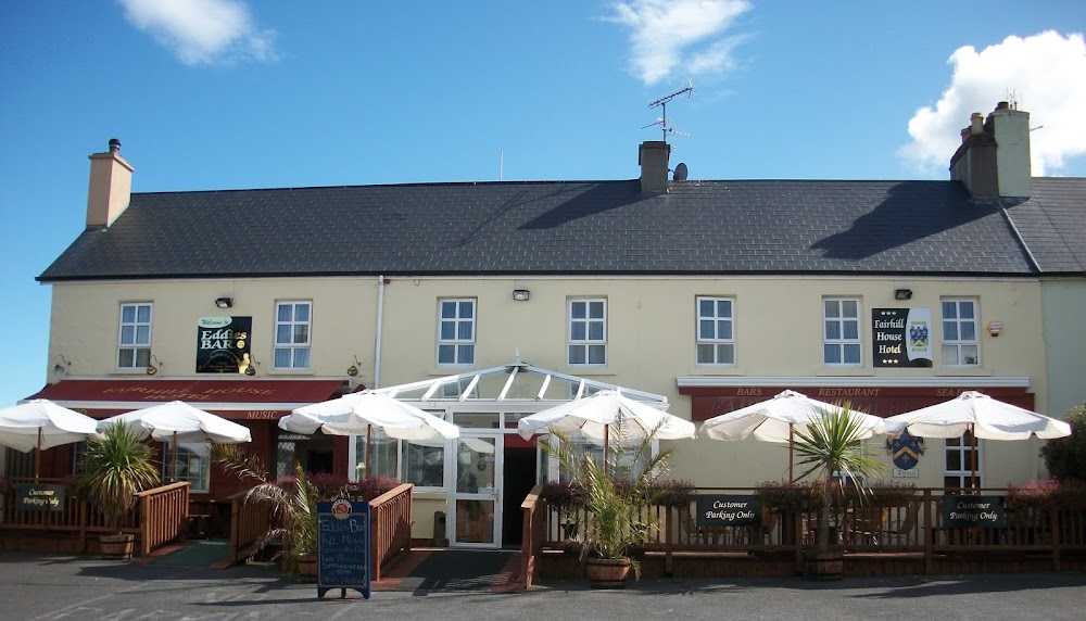 Enclosure in FairhillEnclosure · 1.3 mi
 IndicatedHoly well · 1.4 mi
 Mountbellew ForestForest · 1.4 mi
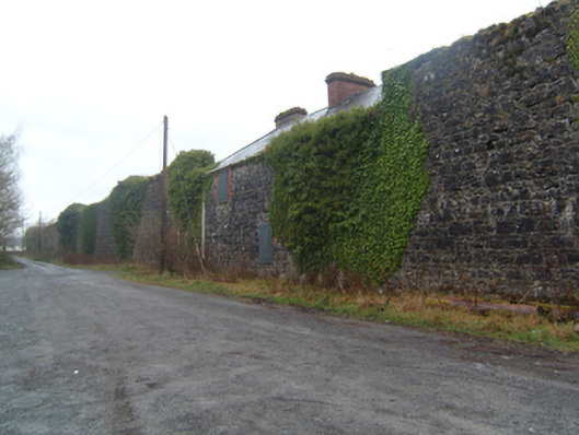 Mount Bellew Museumwalled garden · 1.7 mi
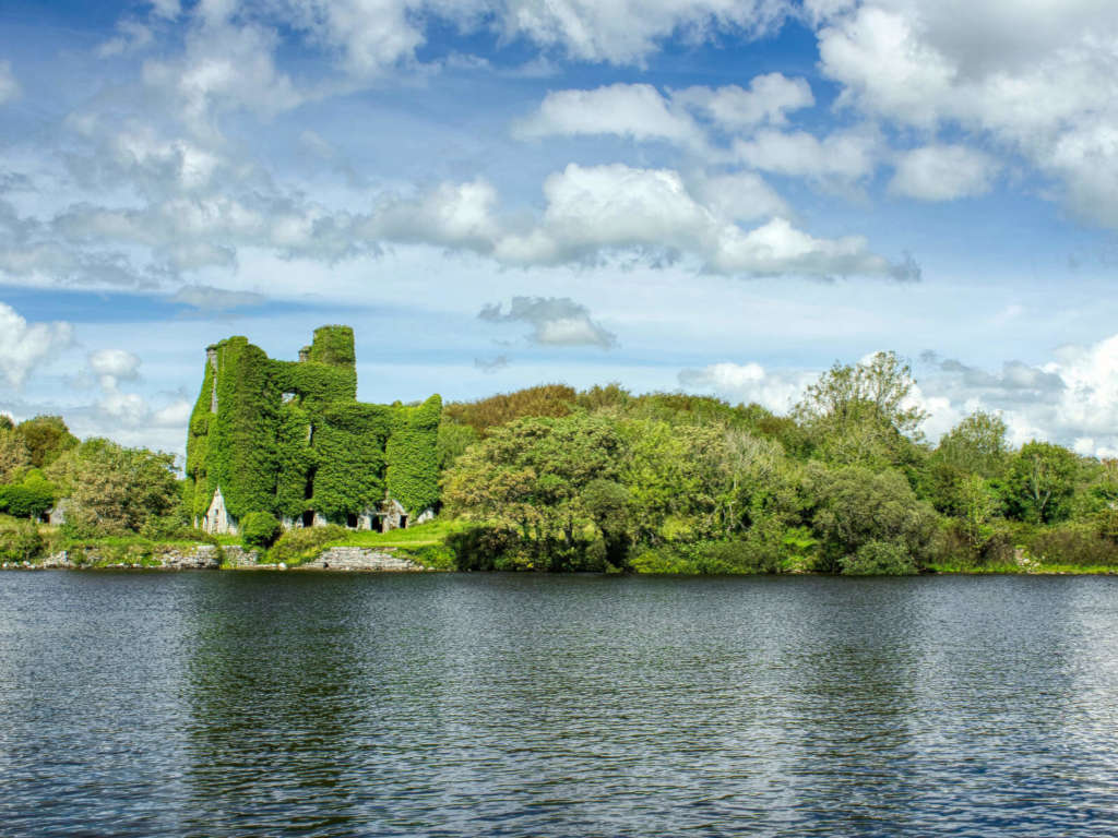 Castle BellewArchaeological place · 2.1 mi
 SycamoreSycamore · 2.1 mi
 Castle (Site of)Castle, unclassified · 2.3 mi
 Menlough IRAMemorial · 2.5 mi
 Ballinlass Eviction MemorialMemorial · 4.3 mi
 Kilconnell AbbeyHeritage attraction · 9.3 mi
 Mount MaryMountain / peak · 10 mi