What is recorded here
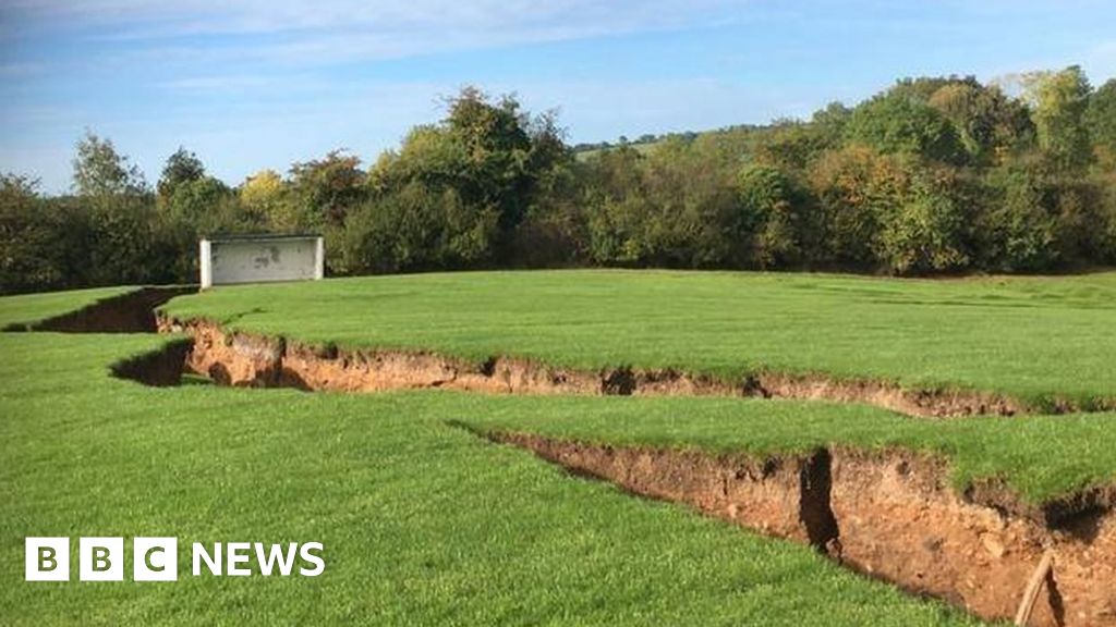
Corcullioncrew hides a phantom passage beside its rath, witnessed only in local memory rather than stone. The absence of proof does not diminish the claim; it sharpens the mystery. A forgotten entrance, a collapsed tunnel, or a boundary marker lost to soil could explain why people still point beneath the ridge. The land keeps its secret, waiting for patience or luck to reveal what it swallowed.
Located just off the SE end of a NW-SE drumlin ridge on the S side. There is a local tradition of an underground passage that might be a Man-made underground passage SW of the centre of rath (MO025-043001-), but there is no physical evidence of this.
The above description is derived from the published 'Archaeological Inventory of County Monaghan' (Dublin: Stationery Office, 1986). In certain instances the entries have been revised and updated in the light of recent research.
Compiled by: Michael Moore
Date of revision: 27 February 2018
The monument record does not grant public access. Check the route and ask the landowner before entering private land.
- What survives
- Recorded monument
Places near here
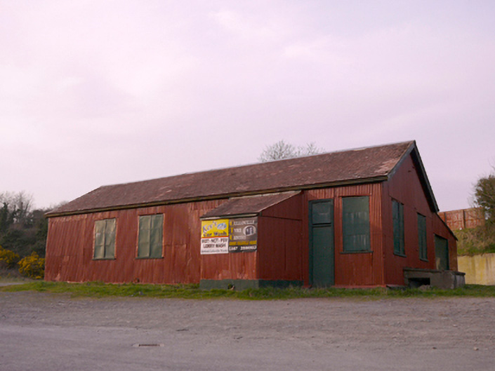 hallhall · 395 yd
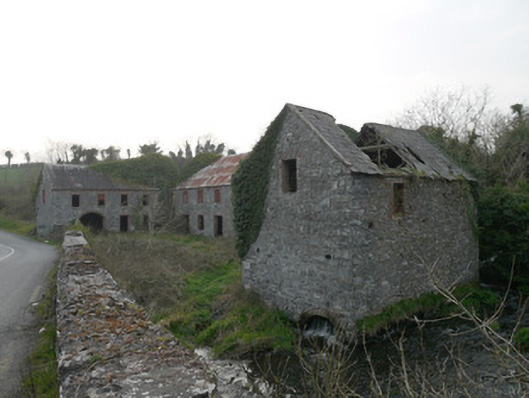 mill (water)mill (water) · 418 yd
 IndicatedFairy fort / earthen ringfort · 799 yd
 ENCLOSURE in CullavilleENCLOSURE · 1178 yd
 KnockreaghMountain / peak · 1725 yd
 Battle of Newry Roadbattle · 3.1 mi
 Whites IslandIslet · 3.2 mi
 The Black Castle Chambered GraveArchaeological place · 3.3 mi
 MEDIEVAL & POST-MED. CHURCH & GRAVEYARD in Creggan Bane GlebeMEDIEVAL & POST-MED. CHURCH & GRAVEYARD · 3.6 mi
 Fincarn HillMountain / peak · 3.7 mi
 Mannan Castle (in ruins)Castle, Anglo-Norman masonry castle · 3.9 mi
 Crane IslandIsland · 3.9 mi
Other information
Photo: Credit not shown in the picture search · Rights wording not checked; contact us if this picture should be removed