What is recorded here
Pile of Stones marks the border between Cavan and Leitrim, yet evaded both the 1836 and 1876 survey maps. That stubborn absence suggests human hands built the cairn to claim a line official instruments refused to draw. Stones can resist cartography when people remember what forgetful instruments discard.
Not marked on OS 1836 or 1876 eds. Situated on the border between counties Cavan and Leitrim.Probably a boundary cairn. Not visited.
The above description is derived from the published 'Archaeological Inventory of County Cavan' (Dublin: Stationery Office, 1995). In certain instances the entries have been revised and updated in the light of recent research.
Date of upload/revision: 22 December 2008
A boundary cairn, likely dating to the Bronze Age. Its location on the inter-county border suggests a territorial or ceremonial function.
The monument record does not grant public access. Check the route and ask the landowner before entering private land.
- What survives
- Recorded monument
Places near here
 PlaygroudCliff · 512 yd
 CarrignahastaCliff · 638 yd
 CloghasaggartPenal Mass station · 1121 yd
 Sweat Ho.Sweathouse · 1693 yd
 Enclosure in Greaghnafarna (drumahaire By., Yugan Ed)Enclosure · 1.5 mi
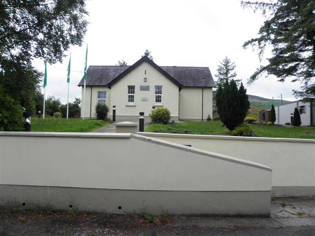 CurraghvahMountain / peak · 1.7 mi
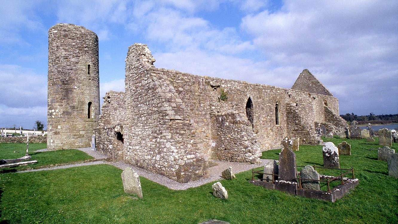 Moneensauran Cuilcagh Anierin Uplands Special Area of ConservationNature reserve · 2.1 mi
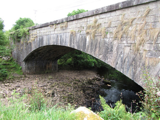 bridgebridge · 2.1 mi
 Corratober UpperMountain / peak · 2.3 mi
 Republican Garden of RemembranceMemorial · 2.9 mi
 Corrard ForestForest · 3.2 mi
 Foxes CaveCave · 3.4 mi