What is recorded here
Coomarkane holds a D-shaped hut clinging to a steep slope above Glengarriff National Park. Its western wall reaches nearly a metre, shaping a small level terrace beside a rocky outcrop, while two upright stones mark the southern entrance. The Beara Way passes within metres, guiding modern walkers past the kind of shelter where someone may have watched weather move through the valley.
This hut site was reported to the Archaeological Survey of Ireland by Tony Miller on 28th January 2013. He describes it as follows: "A D-shaped hut site built against, and partially under, a large rock outcrop. It is situated high on a steep northwest facing slope overlooking the Coomerkane valley to the west of Glengarriff National Park. The walls been built up to a height of c. 0.9m along the western side to create a level terrace which measures c. 4.8m SW-NE and c. 3.2m NW-SE. The entrance, on the south side, is marked by flanking upright stones and is c.1.5m in width. This site is about 5m to the east of the newly routed Beara Way leading to a ridge close to the summit of Sugarloaf Mountain."
Compiled by: Denis Power
Date of upload: 31 January 2013
The monument record does not grant public access. Check the route and ask the landowner before entering private land.
- What survives
- Recorded monument
Places near here
 Derrynafulla SWMountain / peak · 401 yd
 Field boundary in CoomarkaneField boundary · 1264 yd
 Old Stone CottagesHeritage attraction · 1390 yd
 Enclosure in CoomarkaneEnclosure · 1413 yd
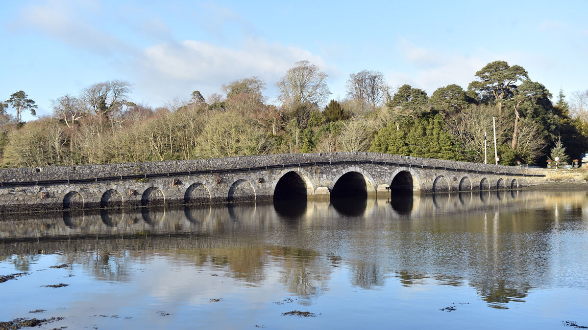 Bridge in Coorannel,derrynafullaBridge · 1647 yd
 Gowlbeg MountainMountain / peak · 1.3 mi
 Glengarriff WoodsWood · 2.1 mi
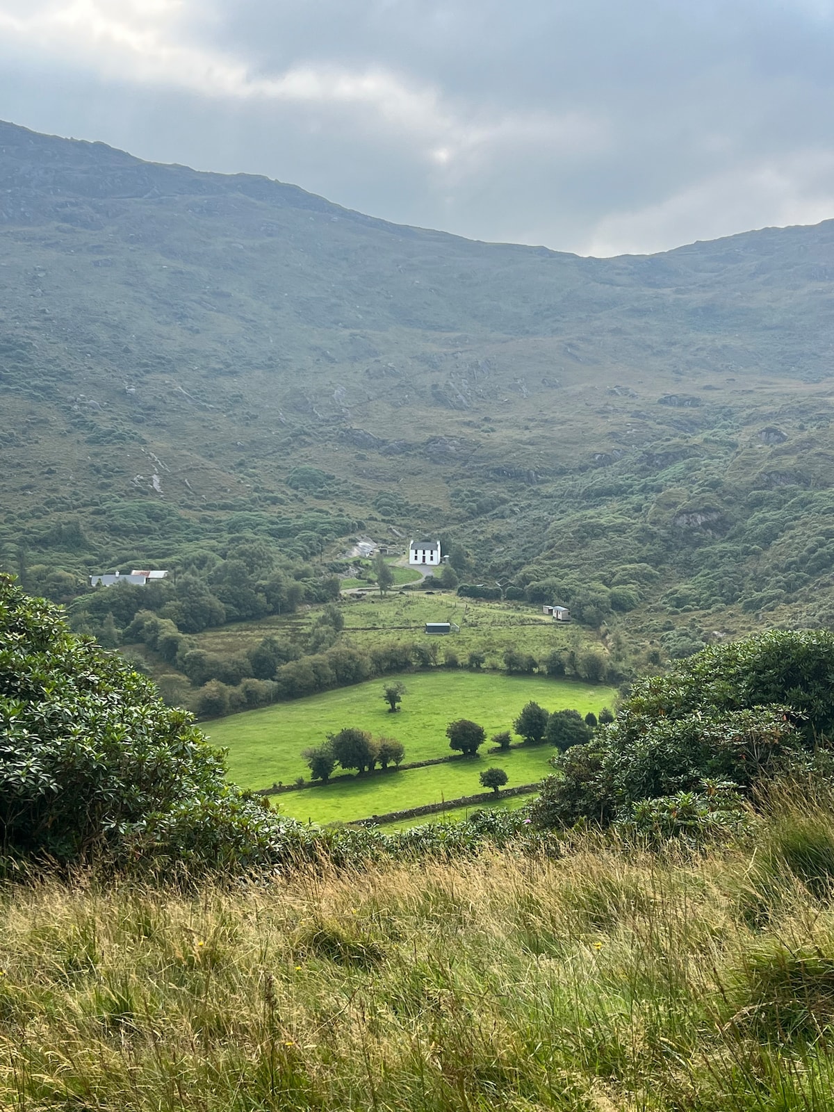 Ahnaclaha BrBridge · 2.2 mi
 Lady Bantry's LookoutViewpoint · 2.3 mi
 IllaunageraghIslet · 2.6 mi
 Graveyard in CappyaughnaGraveyard · 2.8 mi
 Garinish WestIslet · 3.0 mi