What is recorded here
No visible monument remains at Cooltomin. The lost fort may have stood as a simple earthen ring, marking a boundary or holding a household on the flat land. Forgetting removed its shape, but the place still belongs to the region and remembers the risk of living there.
In pasture, on low-lying flat terrain. Circular area (30.5m N-S; 30m E-W) enclosed by earthen bank, with external fosse (Wth 1.3m; D 0.2m) NNW->SSE. Bank (int. H 0.55m; ext. H 1.1m), with external stone facing, is best preserved SSE->SW and NW->N. Remains of stone facing near base of inner bank face at ESE for c. 1.6m. Fosse accentuated by band of nettles growing along it. Level interior, covered by mature deciduous trees, littered with loose stones.
Compiled by: Denis Power
Date of upload: 26 August 2011
The monument record does not grant public access. Check the route and ask the landowner before entering private land.
- What survives
- Recorded monument
Places near here
 Fulacht fia in CooltominFulacht fia · 631 yd
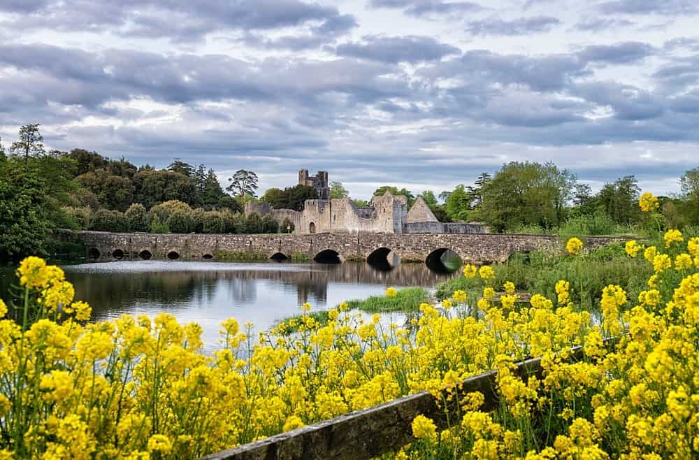 LisardArchaeological place · 733 yd
 post boxpost box · 1.1 mi
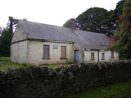 Nutgrove National Schoolschool · 1.2 mi
 Bawn in Lisnacullia (connello Lower By.)Bawn · 1.5 mi
 CastleCastle, unclassified · 2.0 mi
 St. Kieran's WellSpring · 2.5 mi
 TobernablahySpring · 2.6 mi
 Askeaton CastleHeritage attraction · 4.0 mi
 Holly IslandIslet · 4.8 mi
 European ashEuropean ash · 4.9 mi
 Foynes Flying Boat & Maritime MuseumMuseum · 5.8 mi