What is recorded here
In tillage. An oval enclosure (dims. c. 45m NNE-SSW; c. 64m E-W) identified as a cropmark by Faith Bailey on satellite imagery (Google Earth Pro, imagery date 14 July 2018). This enclosure appears to underlie the SW portion of a larger oval enclosure (CW004-066----), also visible as a cropmark.
See attached image:
CW004-067----_01 Google Earth Pro Image © 2019 CNES/Airbus
Compiled by: Jean Farrelly
Date of upload: 21 October 2019
The monument record does not grant public access. Check the route and ask the landowner before entering private land.
- What survives
- Recorded monument
Places near here
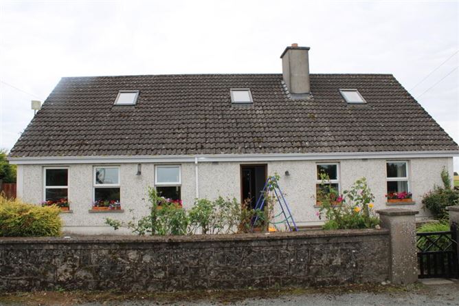 Enclosure in Coolmanagh UpperEnclosure · 22 yd
 Enclosure in WilliamstownEnclosure · 1400 yd
 Site of CastleCastle, unclassified · 1.0 mi
 CastleCastle, unclassified · 1.1 mi
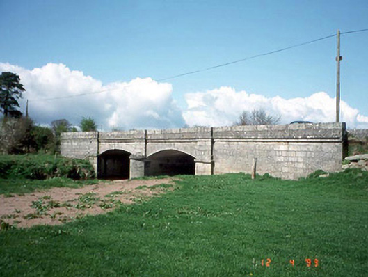 Saulsford Bridgebridge · 1.4 mi
 Acaun Church (in ruins), GraveyardChurch · 1.6 mi
 Acaun Monastery (in ruins)Religious house, Augustinian friars · 1.6 mi
 Church (in ruins), GraveyardChurch · 2.7 mi
 Eagle HillMountain / peak · 2.9 mi
 European BeechEuropean Beech · 3.2 mi
 Sessile OakSessile Oak · 4.0 mi
 Ballycumber HillMountain / peak · 6.8 mi