What is recorded here
Fairy forts are called forts because they stand out as defensive rings. They are called fairy because the true history has been forgotten. The fairy label is a admission that human memory has failed.
In pasture, on N-facing slope. Roughly circular area (diam. 30.5m E-W) defined by low earthen bank (H 0.35m; Wth c. 3.8m) visible beneath curve in field fence to N. Arc defined by slight rise indicates levelled bank to E and W.
The above description is derived from the published 'Archaeological Inventory of County Cork. Volume 1: West Cork' (Dublin: Stationery Office, 1992). In certain instances the entries have been revised and updated in the light of recent research.
Date of upload/revision: 14 January 2009
The monument record does not grant public access. Check the route and ask the landowner before entering private land.
- What survives
- Recorded monument
Places near here
 Coolmain Castlecastle/fortified house · 682 yd
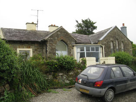 church/chapelchurch/chapel · 931 yd
 Castle (in Ruins)Castle, tower house · 936 yd
 Scott's StrandBeach / strand · 989 yd
 Garranefeen StrandBeach / strand · 1318 yd
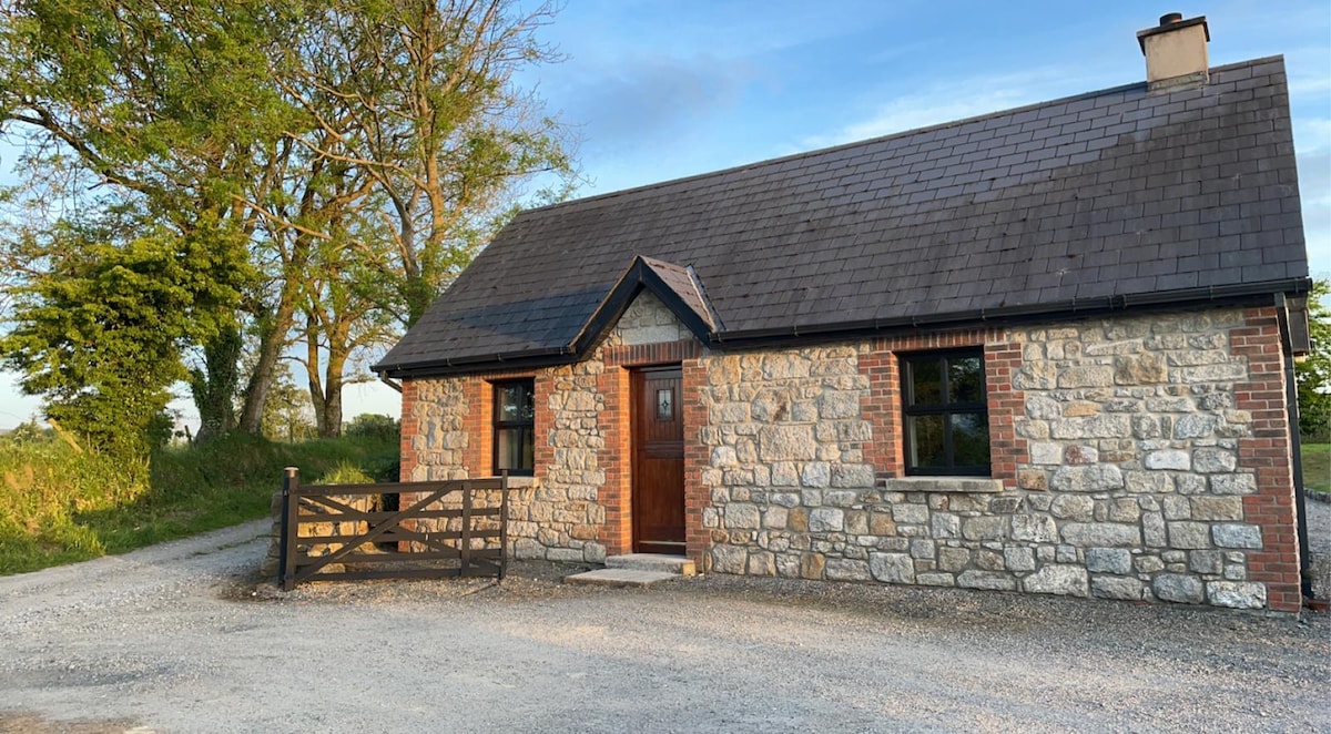 Fulacht fia in HacketstownFulacht fia · 1.3 mi
 Garranereagh WoodWood · 1.3 mi
 Enclosure in Rochestown (carbery East (e.d) By.)Enclosure · 1.4 mi
 Quay WoodWood · 1.5 mi
 Hackstown Raised Beach GeologyNamed rock · 1.9 mi
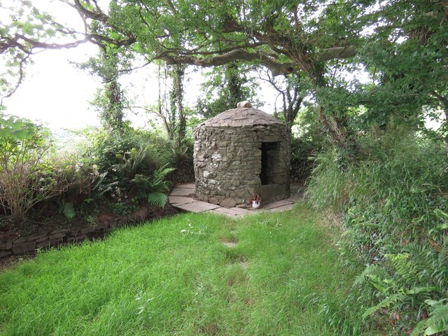 Trinity WellSpring · 2.0 mi
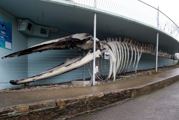 Kilbrittain WhaleHeritage attraction · 2.0 mi