What is recorded here
Indicated is a graveyard in County Cork, Ireland, hidden inside the pasture grounds of Coolkirky House. A low stone-faced bank still marks its rectangular edge, though no grave markers break the grass. Local memory claims stone flags appeared during tree-planting in 1936, suggesting the earth kept buried shapes long after human hands stopped visiting. The place remains quiet, unmarked and slightly resistant to explanation.
In pasture, in field known locally as graveyard, in grounds of Coolkirky House. Shown on 1842 OS 6-inch map as square enclosure, tree-planted on three sides. Rectangular area (21.4m N-S; 17m E-W) enclosed by earthen stone-faced bank (H 1m). According to local information stone flags uncovered during tree-planting in interior in 1936. No grave markers visible.
The above description is derived from the published 'Archaeological Inventory of County Cork. Volume 2: East and South Cork' (Dublin: Stationery Office, 1994). In certain instances the entries have been revised and updated in the light of recent research.
Date of upload/revision: 14 January 2009
The monument record does not grant public access. Check the route and ask the landowner before entering private land.
- What survives
- Recorded monument
Places near here
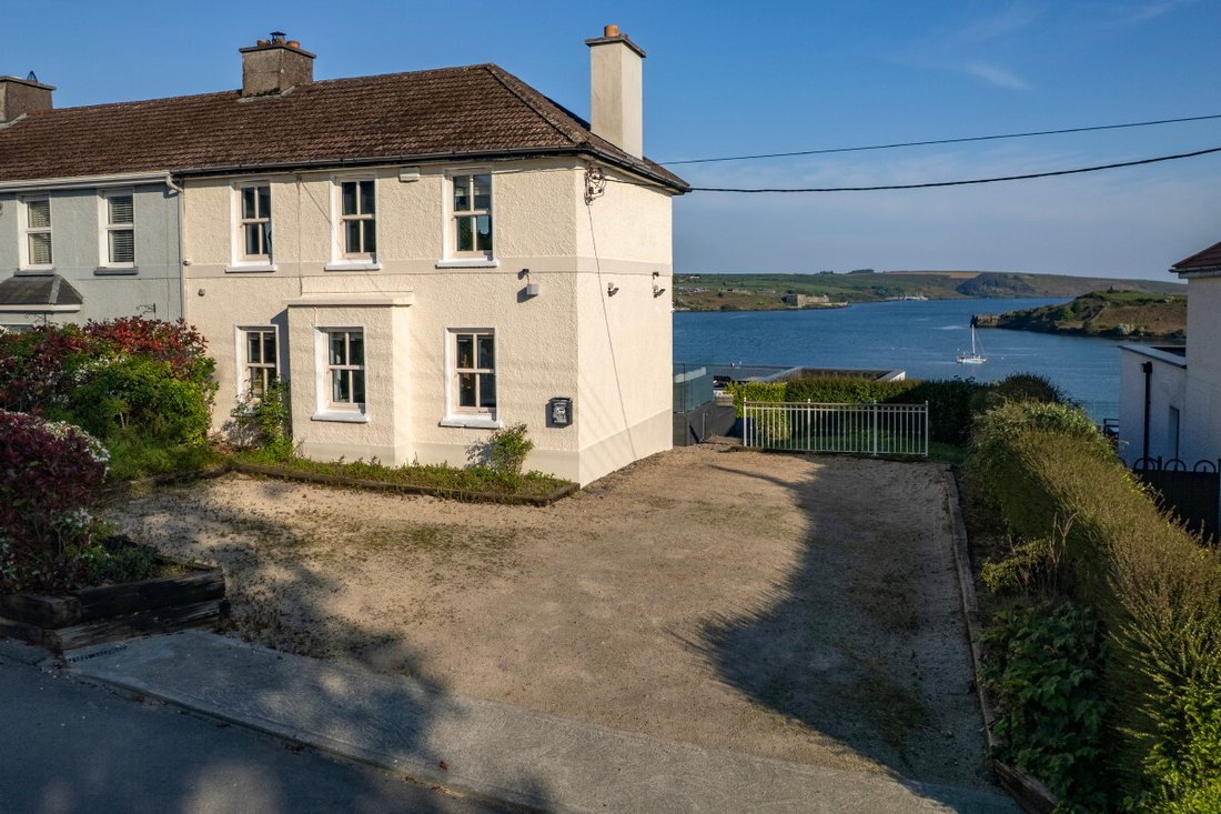 Coolkirky HouseRuins · 344 yd
 Glinny Housecountry house · 1.1 mi
 Dinny Barry MemorialMemorial · 1.2 mi
 Fulacht fia in FahanalooscaneFulacht fia · 1.3 mi
 Sunday's WellSpring · 1.4 mi
 Curra WoodForest · 1.4 mi
 Enclosure in BallinaboyEnclosure · 1.5 mi
 St Laitiarain's WellSpring · 1.8 mi
 Cullen Castle (Site of)Castle, unclassified · 1.9 mi
 Meadstown Castle (Site of)Castle, unclassified · 2.4 mi
 Dooneen WoodsWood · 2.8 mi
 Rumley's Open FarmHeritage attraction · 3.3 mi
Other information
Photo: Credit not shown in the picture search · Rights wording not checked; contact us if this picture should be removed