What is recorded here
Grave Yard in County Cork holds a ruined parish church at its centre, surrounded by headstones stretching back to 1633. The triangular plot balances stone walls and earthen banks, preserving lives from the seventeenth through nineteenth centuries. Thomas Dore's cross-inscribed slab and a later chest tomb anchor the place in documented time, while unnamed markers suggest forgotten neighbours. Occasional use keeps the graveyard alive rather than frozen into display.
Approached by short avenue from road to E. Triangular graveyard (c. 40m N-S; c. 60m E-W), enclosed by stone wall to E, earthen banks elsewhere. Ruin of parish church of Cooliney (14414) in centre. In occasional use; many 18th- and 19th-century headstones noted; also many low uninscribed gravemarkers. Cross-inscribed graveslab to Thomas Dore, dated 1633 with Latin and English inscriptions, within church; cover of chest tomb outside S wall of church dated 1678 (Grove White 1905-25, vol. 2, 250; Anon. 1888-91).
The above description is derived from the published 'Archaeological Inventory of County Cork. Volume 4: North Cork' (Dublin: Stationery Office, 2000). In certain instances the entries have been revised and updated in the light of recent research.
Date of upload/revision: 14 January 2009
The monument record does not grant public access. Check the route and ask the landowner before entering private land.
- What survives
- Recorded monument
Places near here
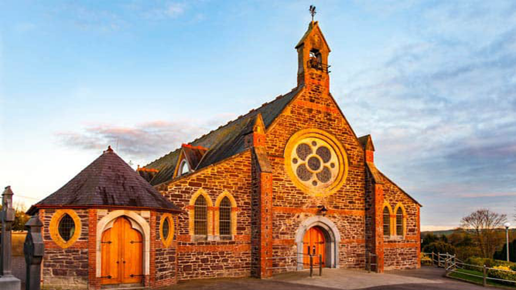 Cooliney Church (in Ruins)Church · 10 yd
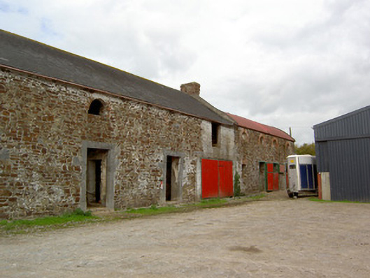 Cooliney Houseoutbuilding · 109 yd
 CastleCastle, motte · 1105 yd
 Ban a tSusaFairy fort / earthen ringfort · 1175 yd
 Fulacht fia in Coolcaum (orrery and Kilmore By.)Fulacht fia · 1396 yd
 Castle Harrison on Site of Castle (19*Castle, unclassified · 2.4 mi
 Holy Cross CemeteryGraveyard · 2.6 mi
 Windmill HillMountain / peak · 2.9 mi
 Ballyhoura WayWalking route · 3.0 mi
 CarrigeenMountain / peak · 4.0 mi
 BallinaboolaVisitor information · 4.3 mi
 Churchtown TrailsVisitor information · 4.8 mi