What is recorded here
Two tall stones faced each other on a Kerry pasture slope in the 1940s, marking a boundary or meeting place now lost beneath grass and forgotten hands. Field clearance in the mid-1990s scattered what remained, leaving only faint protrusions to the north and a vague memory of vertical presence. The land kept its shape longer than people kept its name, turning witness into rumor and rumor into silence.
In pasture, on a small rise, on a NE-facing slope. In the 1940s 'two gallauns about 5 ft [1.52m] high and facing each other' were recorded on Mr J.D. Lyne's land (ITA). There are no visible remains of these stones. According to local information, field clearance works were carried out here in the mid-1990s and stones were deposited in the field to the NE. Immediately to the N some stones are visible, protruding slightly above the ground surface.
Compiled by: Elizabeth Byrne, Ursula Egan and Sheila Ronan, Archaeological Survey Unit, University College, Cork.
Date of upload: 31 January 2011
This remains an important historical record, but the official description says the monument is no longer visible or has been destroyed. The monument record does not grant public access. Check the route and ask the landowner before entering private land.
- What survives
- No visible remains or recorded as destroyed
Places near here
 Owgarriff Br.Bridge · 260 yd
 Enclosure in Gortagullane (magunihy By.)Enclosure · 1422 yd
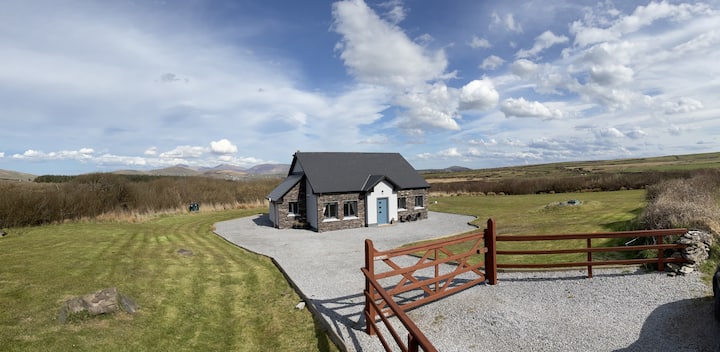 Hut site in DromickbaneHut site · 1481 yd
 Blue Pool Nature ReserveWood · 1.4 mi
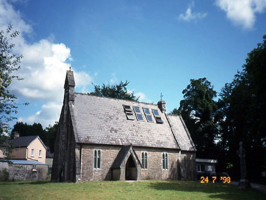 church/chapelchurch/chapel · 1.7 mi
 The Blue PoolGallery · 1.7 mi
 TooreencormickBattlefield · 1.7 mi
 Muckross AbbeyHeritage attraction · 2.0 mi
 European YewEuropean Yew · 2.0 mi
 A.W.B. (Billy) Vincent MemorialMemorial · 2.2 mi
 Osprey RockIsland · 2.3 mi
 McCarthy Mor CastleCastle · 2.5 mi