What is recorded here
Indicated is a vanished Kerry ringfort, reduced to an uneven pasture surface and a shallow southern depression beside the Finoulagh River. It appears on old maps as a thirty-metre circle, but the earth has forgotten its own boundary. What remains is not a wall but a rhythm of grass, rain and footprint, preserving the shape of a place that stopped being built.
In level pasture, c. 20m S of the Finoulagh River. This possible rath is indicated on the 1846 and 1894-5 OS 6-inch maps a circular enclosure (diam. c. 30m). It is levelled and the area (diam. c. 32m) comprises an uneven surface with a circular depression (D 0.15m; 3m N-S; 4m E-W) in the S sector.
Compiled by: Elizabeth Byrne, Ursula Egan and Sheila Ronan, Archaeological Survey Unit, University College, Cork.
Date of upload: 31 January 2011
The monument record does not grant public access. Check the route and ask the landowner before entering private land.
- What survives
- Recorded monument
Places near here
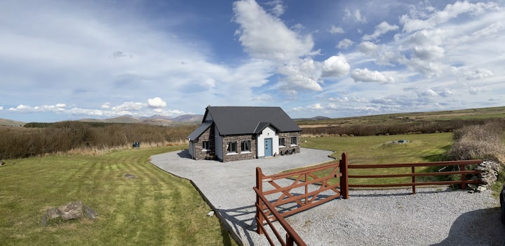 Hut site in DromickbaneHut site · 708 yd
 Owgarriff Br.Bridge · 825 yd
 Enclosure in Gortagullane (magunihy By.)Enclosure · 1062 yd
 Blue Pool Nature ReserveWood · 1.2 mi
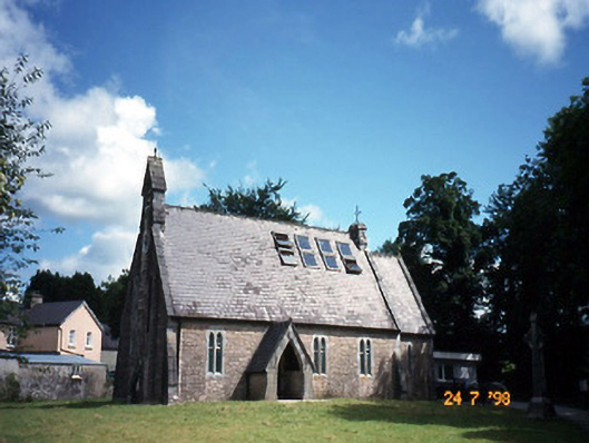 church/chapelchurch/chapel · 1.4 mi
 The Blue PoolGallery · 1.5 mi
 Sheheree Bog Nature ReserveNature reserve · 1.6 mi
 Muckross AbbeyHeritage attraction · 1.7 mi
 TooreencormickBattlefield · 2.0 mi
 A.W.B. (Billy) Vincent MemorialMemorial · 2.1 mi
 Osprey RockIsland · 2.1 mi
 McCarthy Mor CastleCastle · 2.2 mi