What is recorded here
The earth and stone bank still stands beside the Owgarriff River in Coolies, though a small stream has gnawed through its western edge. Its southern entrance opens onto level pasture, inviting entry into a circular space where the western half slopes gently downward. The rath preserves the shape of human labour even as water reclaims part of it, suggesting that residence, ritual or refuge once animated this quiet Kerry landscape before memory faded.
In level pasture, c. 40m to the SW of a ford on the Owgarriff River. A circular area (37m E-W; 36m N-S) defined by an earth and stone bank (Wth 8.5m; int. H 1.1m; ext. H 1.6m) NW-SW, which is stone-faced internally and externally. The bank is eroded SW-NW by a small stream which skirts the W half of the rath. There are some weathered rocks on the bank along the E arc. There is an entrance (Wth 4.5m) at S. The interior is raised slightly. The W half of the interior slopes down towards the W bank and the E half is level. There is a depression (16m NE-SW; 5m NW-SE; D 0.5m) in the NW quadrant, just inside the bank.
Compiled by: Elizabeth Byrne, Ursula Egan and Sheila Ronan, Archaeological Survey Unit, University College, Cork.
Date of upload: 31 January 2011
The monument record does not grant public access. Check the route and ask the landowner before entering private land.
- What survives
- Recorded monument
Places near here
 Owgarriff Br.Bridge · 486 yd
 Enclosure in Gortagullane (magunihy By.)Enclosure · 1659 yd
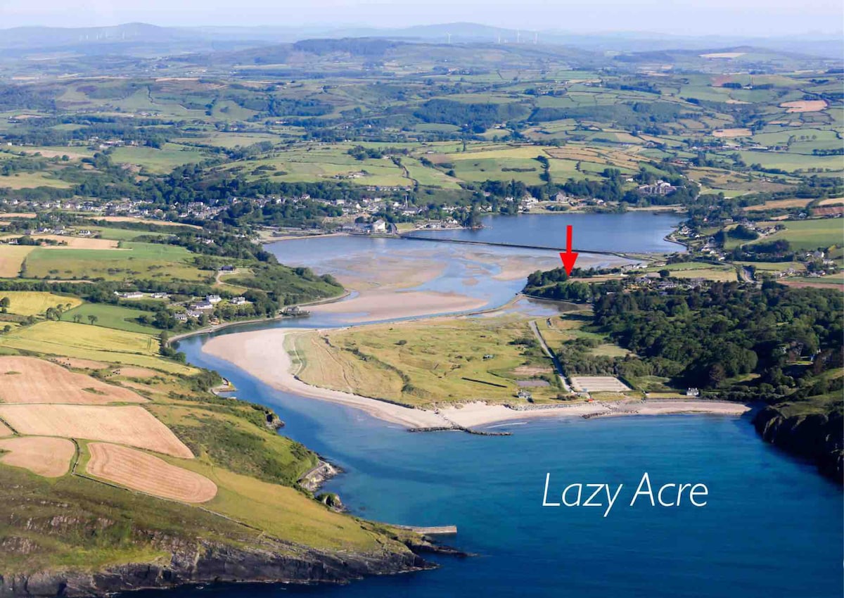 Enclosure in DromdiraloughEnclosure · 1748 yd
 Blue Pool Nature ReserveWood · 1.5 mi
 TooreencormickBattlefield · 1.6 mi
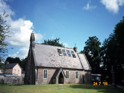 church/chapelchurch/chapel · 1.8 mi
 The Blue PoolGallery · 1.8 mi
 Muckross AbbeyHeritage attraction · 2.1 mi
 European YewEuropean Yew · 2.1 mi
 A.W.B. (Billy) Vincent MemorialMemorial · 2.3 mi
 StoompaMountain / peak · 2.4 mi
 Osprey RockIsland · 2.4 mi