What is recorded here
Half a metre of buried stone marks a vanished tower beside County Kilkenny fields. It stood at a junction of boundaries, likely a neighbour to a taller folly with pointed windows. The sharper tower has given way, leaving only a small mound for imagination to climb.
Identified as a 'Tower' on the 1st (1839-40) ed. OS 6-inch map and 'Tower (in Ruins) on the 2nd (1903) ed. Situated 76m E of a tower house (KK033-027001-) and 210m ENE of another tower (KK033-027002-) and stood at a junction between two field boundaries. This tower does not survive, except for some overgrown stones at its location (max. H 0.5m). It is likely that this tower was similar to and contemporary with the tower to the WSW. This latter tower is an 18th/19th-century folly (ext. dims. 4.1m x 4m; int. dims. 2.45m x 2.4m) which was at least three storeys high and has large pointed window openings. It is not related to the tower house (KK033-027001-) which lies 135m NE of it.
Compiled by: Jean Farrelly
Date of upload: 23 August 2016
The monument record does not grant public access. Check the route and ask the landowner before entering private land.
- What survives
- Recorded monument
Places near here
 Coolhill Castle (in ruins)Castle, tower house · 86 yd
 Clogaralt Castle (site of)Archaeological place · 642 yd
 Cappanroe Upper Ringfort (rath)Archaeological place · 1.1 mi
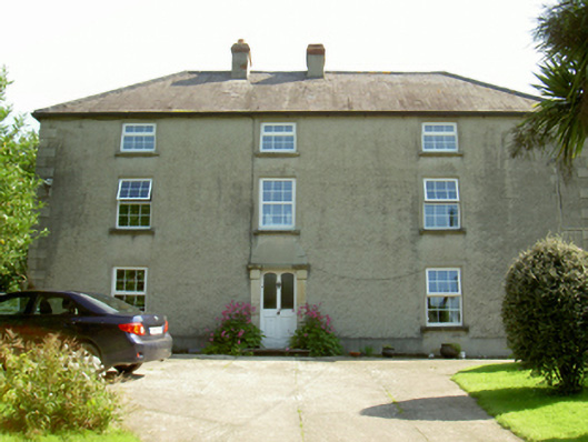 farm housefarm house · 1.1 mi
 The Kiln FieldWood · 1.2 mi
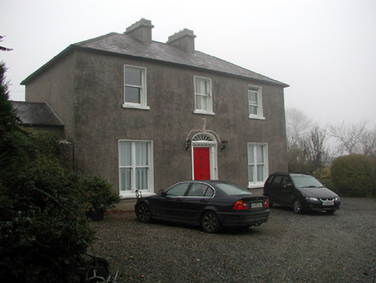 The Presbyterypresbytery/parochial/curate's house · 1.2 mi
 Silver WattleSilver Wattle · 1.3 mi
 Enclosure in CullentraghEnclosure · 1.4 mi
 Graveyard in St. Mullin'sGraveyard · 1.7 mi
 The SpoutSpring · 1.8 mi
 Brandon HillMountain / peak · 3.6 mi
 Freney's WellSpring · 4.3 mi