What is recorded here
No visible wall remains in Coolfadda, but the field surface still bends into a thirty-yard ring, marking the forgotten fort without asking permission to be seen. Earth has flattened the boundary yet refused to erase it, preserving a shape that human tools no longer recognize. What was built, abandoned and buried has become a suggestion rather than a ruin, waiting for someone to walk its invisible edge and admit the ground still remembers.
According to Ó Ríordáin (1933, 19) 'in Buckley's the ring in the surface of the field plainly marks the position of the lios', diameter 'about 30 yards'.
The above description is derived from the published 'Archaeological Inventory of County Cork. Volume 1: West Cork' (Dublin: Stationery Office, 1992). In certain instances the entries have been revised and updated in the light of recent research.
Date of upload/revision: 14 January 2009
The monument record does not grant public access. Check the route and ask the landowner before entering private land.
- What survives
- Recorded monument
Places near here
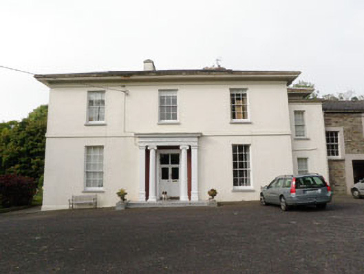 The Retreatcountry house · 456 yd
 Presentation Conventchurch/chapel · 476 yd
 Man-made underground passage in CurrycloghMan-made underground passage · 838 yd
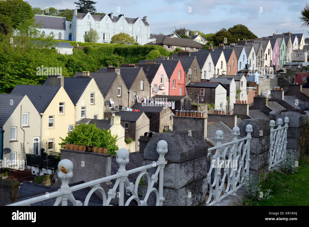 Town defences in GullyTown defences · 1043 yd
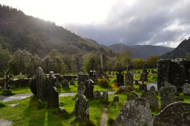 Graveyard in GullyGraveyard · 1210 yd
 Cathal Hurley MemorialMemorial · 1400 yd
 Cottage Road WoodWood · 1.3 mi
 Carbury's WellSpring · 1.7 mi
 Mount Pleasant WoodWood · 3.0 mi
 Towers (in Ruins)House, fortified house · 4.4 mi
 Marie LouiseWreck · 5.0 mi
 Carrighnassig Castle (Site of)Castle, unclassified · 5.0 mi