
What is recorded here
In pasture, on a level area of ground on a N-facing slope. This Man-made underground passage was discovered in 2000 when the ground collapsed leaving a circular opening (0.5m x 0.5m). The opening revealed a roughly rectangular earth-cut chamber (2.7m E-W; 1.3m N-S; min H 1m). A large amount of spoil from the roof collapse had fallen onto the chamber floor. A blocked-up construction shaft (min. H 0.85m; Wth 0.6m) was visible at the E end of the chamber. A creepway (Wth 0.5m; H 0.2m) was visible at the W end of the chamber but it was blocked from the inside with loose stones. A second creepway (L c. 0.5m; Wth 0.5m; H 0.36m) at the SW leads into another chamber (min. L 2m NW-SE), the bottom of which seems to be partially rock-cut. Access to this chamber was not gained.
The above description is derived from 'The Archaeological Inventory of County Cork. Volume 5' (Dublin: Stationery Office, 2009).
Date of upload: 22 December 2009
The monument record does not grant public access. Check the route and ask the landowner before entering private land.
- What survives
- Recorded monument
Places near here
 Sun Viewhouse · 253 yd
 Ballintannig Bridgebridge · 998 yd
 CrossCross, Market cross · 1.0 mi
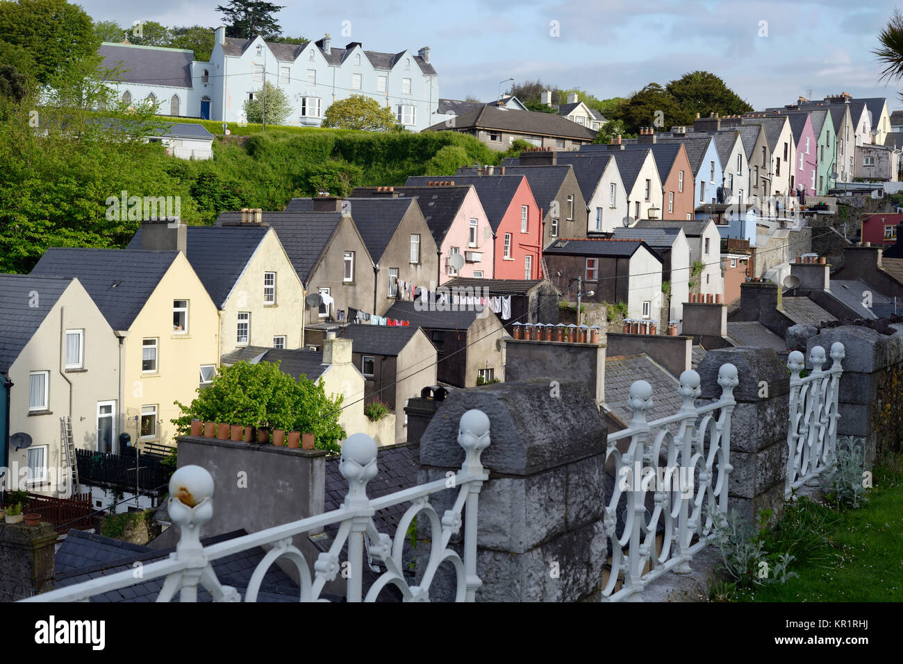 Town defences in GullyTown defences · 1.1 mi
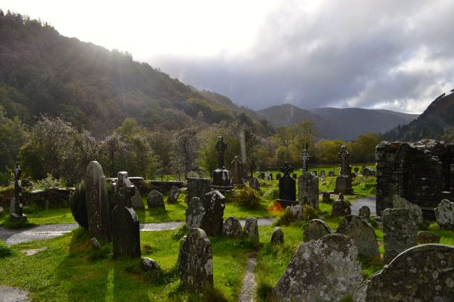 Graveyard in GullyGraveyard · 1.2 mi
 Cathal Hurley MemorialMemorial · 1.3 mi
 Cottage Road WoodWood · 1.4 mi
 Carbury's WellSpring · 2.2 mi
 Mount Pleasant WoodWood · 2.5 mi
 Towers (in Ruins)House, fortified house · 3.9 mi
 Tobar MacloonaboySpring · 5.2 mi
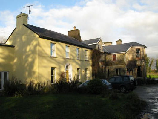 Gurteen Househouse · 1044 yd
Other information
Photo: Credit not shown in the picture search · Rights wording not checked; contact us if this picture should be removed