What is recorded here
Templecolman church ruins form the northwest edge of a small graveyard where a nineteenth-century stone wall follows a curved line that may preserve an older earthen bank. The burials beneath that changing boundary have watched the church collapse into ruin while the living kept returning to feed the soil beside its broken stones.
Templecolman church ruins (LI039-006001-) forms NW boundary of sub-rectangular shaped graveyard (approx. dims. 21m N-S x 33m E-W) enclosed by a 19th century stone wall. The enclosing feature of the burial ground is depicted as a small circular-shaped enclosure possibly defined by an earthen bank on the first ed. OS 6-inch map. The curving section of the boundary wall at SE may be following line of earlier enclosing graveyard boundary.
Compiled by: Caimin O'Brien
Date of upload: 21 May 2019
The monument record does not grant public access. Check the route and ask the landowner before entering private land.
- What survives
- Recorded monument
Places near here
 Church (in ruins)Church · 6 yd
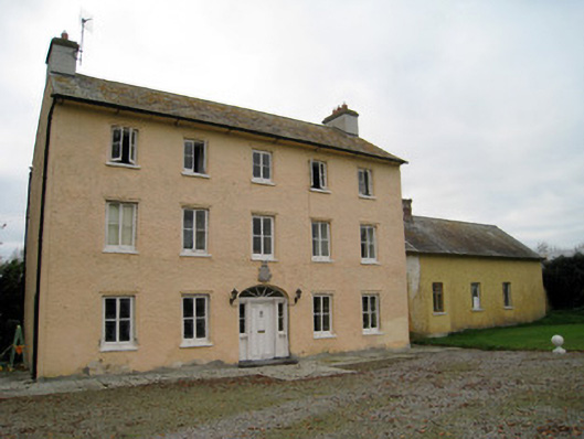 Cooleen Housebridge, country house · 426 yd
 Enclosure in Dromacummer WestEnclosure · 1331 yd
 EnclosureEnclosure, large enclosure · 1627 yd
 Bruree Castle Lower (in ruins)Castle, Anglo-Norman masonry castle · 1.2 mi
 Athlacca Ho. (in ruins)Castle, unclassified · 1.4 mi
 European ashEuropean ash · 4.7 mi
 Monasteranenagh AbbeyHeritage attraction · 4.9 mi
 Saint Derivla's WellSpring · 5.3 mi
 King John's CastleCastle · 5.5 mi
 KnockfeerinaMountain / peak · 5.6 mi
 Kinnoor WellSpring · 6.0 mi