
What is recorded here
In pasture immediately N of the River Maigue. Transected at W by a field boundary which marks the townland boundary with Cappanafaraha. Partial cropmark of circular-shaped area (approx. diam. 33m) visible on Digital Globe orthophoto taken 2011-13 and on earlier OSi othoimages. Partial cropmark forming roughly a D-shaped area (approx. dims. 46m N-S x 42m E-W) running onto the River Maigue is clearly visible on Google Earth orthophoto taken 28/06/2018.
See attached Google Earth orthoimage taken 28/06/2018
Compiled by: Caimin O’Brien
Date of upload: 2 June 2020
The monument record does not grant public access. Check the route and ask the landowner before entering private land.
- What survives
- Recorded monument
Places near here
 bridgebridge · 869 yd
 Bruree Castle Lower (in ruins)Castle, Anglo-Norman masonry castle · 883 yd
 Howardstown Bridgebridge · 1109 yd
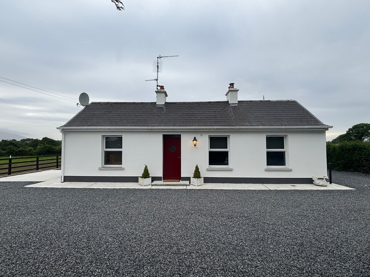 Enclosure in KnockmoreEnclosure · 1457 yd
 BarrowBarrow, ring-barrow · 1533 yd
 Bruree Castle Upper (ruins)Castle · 1.1 mi
 King John's CastleCastle · 4.8 mi
 Saint Derivla's WellSpring · 5.3 mi
 St Bridget's WellSpring · 6.2 mi
 KnockfeerinaMountain / peak · 6.2 mi
 Famine stoneMemorial · 6.8 mi
 Flat cemetery in Kiltenan SouthFlat cemetery · 9.0 mi
Other information
Photo: Credit not shown in the picture search · Rights wording not checked; contact us if this picture should be removed