What is recorded here
Coolcair holds a subcircular grassy ring, forty metres across, where a low earthen scarp still marks the boundary of an old life. The road bent west to avoid it before modern carts arrived, suggesting the ridge and rath resisted easy conquest. It sits at the northern edge of a drumlin, waiting for someone to remember why people built circles there instead of squares.
Situated at the N end of a NW-SE drumlin ridge. This rath is depicted on the NW side of a NNE-SSW road on McCrea’s map of County Monaghan (1793), and it is shown with dotted lines on the 1834 edition of the OS 6-inch map on the same side of the road. By the time the 1907 edition was made the road looped around it just to the W as it does now. This is a subcircular grass-covered area (dims c. 45m E-W; c. 40m N-S) defined by a scarp E-S-W (at S: Wth 5.4m; H 1.3m) that melds into the slope elsewhere. It is visible on the OSI aerial images 2005 (OSAP). Rath (MO028-046----) is c. 200m to the SE.
The above description is derived from the published 'Archaeological Inventory of County Monaghan' (Dublin: Stationery Office, 1986). In certain instances the entries have been revised and updated in the light of recent research.
Date of revision: 6 December 2017
The monument record does not grant public access. Check the route and ask the landowner before entering private land.
- What survives
- Recorded monument
Places near here
 Enclosure in Lisnamoyle EtraEnclosure · 592 yd
 Mass-rock in Lisnamoyle OtraMass-rock · 1400 yd
 Old Church (ruin)Church · 1.4 mi
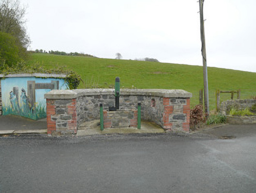 water pumpwater pump · 1.5 mi
 Mannan Castle (in ruins)Castle, Anglo-Norman masonry castle · 1.9 mi
 KnockreaghMountain / peak · 2.0 mi
 TobernagalliaghSpring · 2.2 mi
 Fincarn HillMountain / peak · 3.6 mi
 Horse-chestnutHorse-chestnut · 4.4 mi
 Whites IslandIslet · 4.5 mi
 Gully IslandIslet · 4.7 mi
 Battle of Newry Roadbattle · 5.0 mi