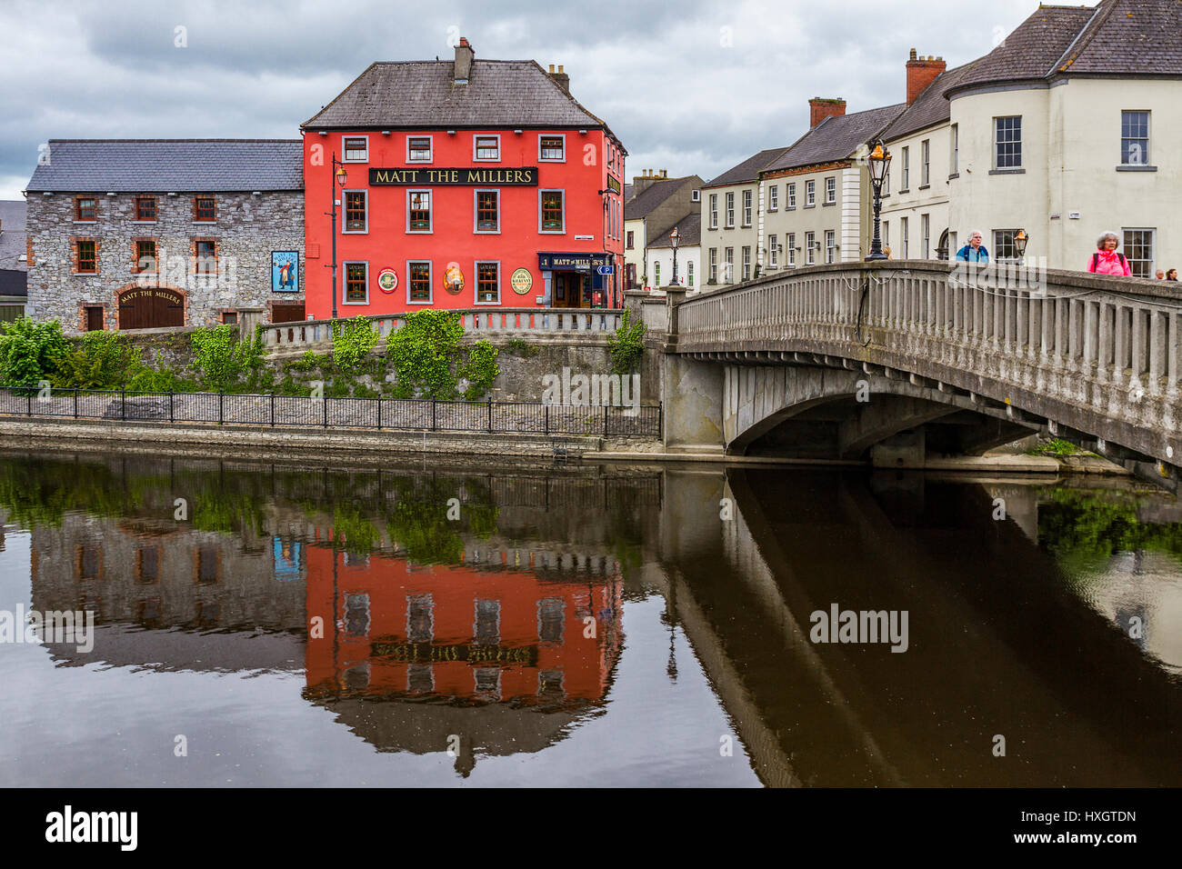
What is recorded here
Indicated is a holy well north of Conahy chapel in County Kilkenny, Ireland, where people once pilgrimaged. It appeared on the 1839 map but vanished from the 1947 revision, suggesting the water, devotion or both withdrew before modern measurement. The stream still runs past the old church and graveyard, carrying what the land stopped naming.
According to Carrigan (1905, vol. 2, 194), there is, 'a well, reputed holy, a little to the north of Conahy chapel. People used to pilgrim around it formerly'. This reference may refer to a well which is indicated on the 1st (1839) ed. OS 6-inch map, c. 190m NW of Connahy R. C. chapel, with a stream running SE and then S past the former church (KK010-058001-) and graveyard (KK010-058002-), which lies c. 160m S of the well. It is not indicated on the 1947 OS 6-inch revision.
Compiled by: Jean Farrelly
Date of upload: 14 January 2019
The monument record does not grant public access. Check the route and ask the landowner before entering private land.
- What survives
- Recorded monument
Places near here
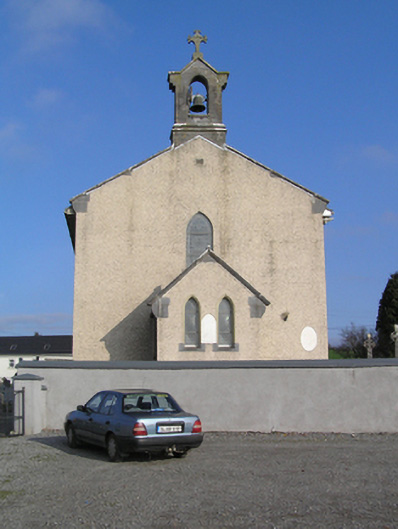 Saint Colman's Catholic Churchchurch/chapel · 219 yd
 Font in ConnahyFont · 224 yd
 presbytery/parochial/curate's housepresbytery/parochial/curate's house · 478 yd
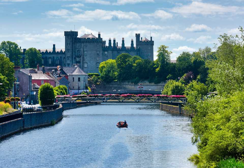 Site of Shanganny CastleCastle, unclassified · 690 yd
 Shanganny CastleArchaeological place · 759 yd
 Enclosure in ConnahyEnclosure · 926 yd
 Donaghmore WellSpring · 1.8 mi
 Saint Coleman's WellSpring · 1.8 mi
 Mohil GraveyardArchaeological place · 2.4 mi
 Jenkinstown ParkForest · 2.5 mi
 Cave of DunmoreCave · 2.6 mi
 Dunmore CavesCave · 2.6 mi
Other information
Photo: Credit not shown in the picture search · Rights wording not checked; contact us if this picture should be removed