
What is recorded here
Half a mile north-west of St. Coleman's church, a square rampart and fosse still cut through the field called Shannovohaun. Carrigan recorded that ploughing the earth revealed the shape of a graveyard, suggesting the old hut may have covered a monastery or burial ground. The soil itself seemed to remember what the surface had forgotten.
Carrigan (1905, vol. 2, 194) records that in Connahy townland, 'A half a mile [c. 800m] north-west of the chapel there is a field, three-quarters of an acre in extent, called the Shannavŏhaun, or old hut. A square enclosure here, 53 yards [c. 48.5m] across, with rampart and fosse, is said to have been the site of an ancient monastery. Whenever tilled the enclosure presented all the appearance of a graveyard [KK010-094002-]'. According to local information a field c. 1km NW of St. Coleman's church is still known as 'Shannovohaun' and within this field there is a roughly square enclosure (visible on Digitalglobe satellite imagery, viewed 5 July 2019) which seems to correspond with the enclosure described by Carrigan.
Compiled by: Jean Farrelly
Date of revised upload: 5 July 2019
The monument record does not grant public access. Check the route and ask the landowner before entering private land.
- What survives
- Recorded monument
Places near here
 Connahy Ringfort (rath)Archaeological place · 673 yd
 CastleCastle, unclassified · 743 yd
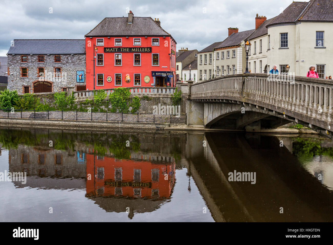 IndicatedHoly well · 926 yd
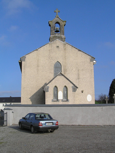 Saint Colman's Catholic Churchchurch/chapel · 1143 yd
 presbytery/parochial/curate's housepresbytery/parochial/curate's house · 1403 yd
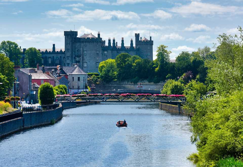 Site of Shanganny CastleCastle, unclassified · 1607 yd
 Donaghmore WellSpring · 1.3 mi
 Graveyard in SraleaghGraveyard · 2.8 mi
 Jenkinstown ParkForest · 2.9 mi
 Graveyard in ThreecastlesGraveyard · 3.8 mi
 Turkey OakTurkey Oak · 3.9 mi
 Anker's IslandIsland · 4.0 mi
Other information
Photo: Credit not shown in the picture search · Rights wording not checked; contact us if this picture should be removed