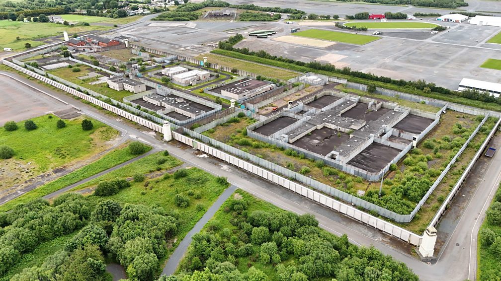
What is recorded here
Located at the crest of the E-facing slope of a N-S ridge. The cropmark of a circular area (diam. c. 40m) defined by a fosse is separated by a berm (Wth c. 15-20m) from an outer fosse. This creates a large enclosed area (diam. c. 80m), and It is only visible on iMAPs (2022). An entrances is not detected in the inner enclosure but there may be one (Wth c. 8m) in the outer at ESE. The enclosure was first reported by Jean Charles Caillére.
See the attached enhanced view from iMAPs (2022)
Compiled by: Michael Moore
Date of upload: 6 June 2023
The monument record does not grant public access. Check the route and ask the landowner before entering private land.
- What survives
- Recorded monument
Places near here
 EnclosureFairy fort / earthen ringfort · 462 yd
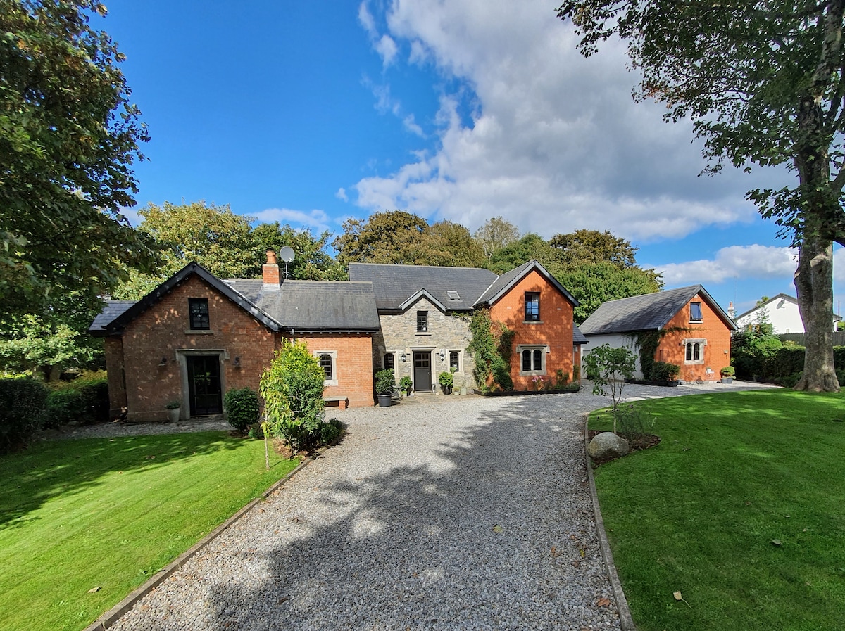
 Baylestown Housefarm house · 685 yd
 Field boundary in BaylestownField boundary · 800 yd
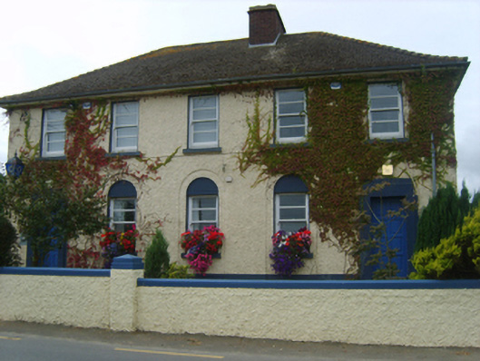 Ballycullane Garda Síochána Stationgarda station/constabulary barracks · 1.2 mi
 Lockheed Hudson AM885 MemorialMemorial · 1.3 mi
 Rathumney Castle (in ruins)Castle, hall-house · 1.9 mi
 Bawn in Boley (shelburne By.)Bawn · 2.4 mi
 Saltmills Explosion MemorialMemorial · 3.3 mi
 Common WhitebeamCommon Whitebeam · 3.6 mi
 Arthurstown BeachBeach / strand · 4.3 mi
 DuncannonBeach / strand · 4.5 mi
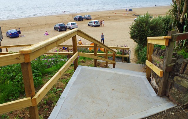 Duncannon BeachVisitor information · 4.5 mi
Other information
Photo: Credit not shown in the picture search · Rights wording not checked; contact us if this picture should be removed