What is recorded here
No credible witness remembers the standing stone, yet that absence makes Comber bigger rather than small. The river still meets the lough, the church still stands beside the old monastery stones, and people still walk past the place where memory failed. Forgetting one marker does not erase the town; it forces the town to keep living without leaning on that one claim.
The official Northern Ireland record identifies this as STANDING STONE?. Recorded period: UNCERTAIN. The official map point was placed at the centre of the recorded archaeological site from the source map reference.
The monument record does not grant public access. Check the route and ask the landowner before entering private land.
- What survives
- Recorded monument
Places near here
 FORTIFICATION (site of): MOUNT ALEXANDER CASTLE in Mount AlexanderFORTIFICATION (site of): MOUNT ALEXANDER CASTLE · 758 yd
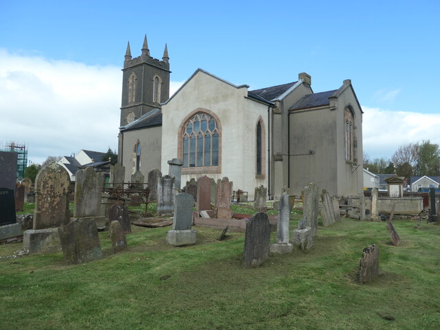 CISTERCIAN ABBEY (site of), now modern C of I church (c.f. HB 24/15/2) in Town Parks (comber)CISTERCIAN ABBEY (site of), now modern C of I church (c.f. HB 24/15/2) · 860 yd
_-_geograph.org.uk_-_2254778.jpg?width=1280) The Gillespie MonumentMemorial · 878 yd
The Gillespie MonumentMemorial · 878 yd Bronze Age Enclosure and Early Medieval Enclosure with associated features in Ballyhenry MinorBronze Age Enclosure and Early Medieval Enclosure with associated features · 982 yd
 Comber Non-subscribing Presbyterian ChurchChurch · 1047 yd
 Scrabo HillMountain / peak · 1.9 mi
 Scrabo TowerHeritage attraction · 1.9 mi
 Rough IslandIslet · 2.2 mi
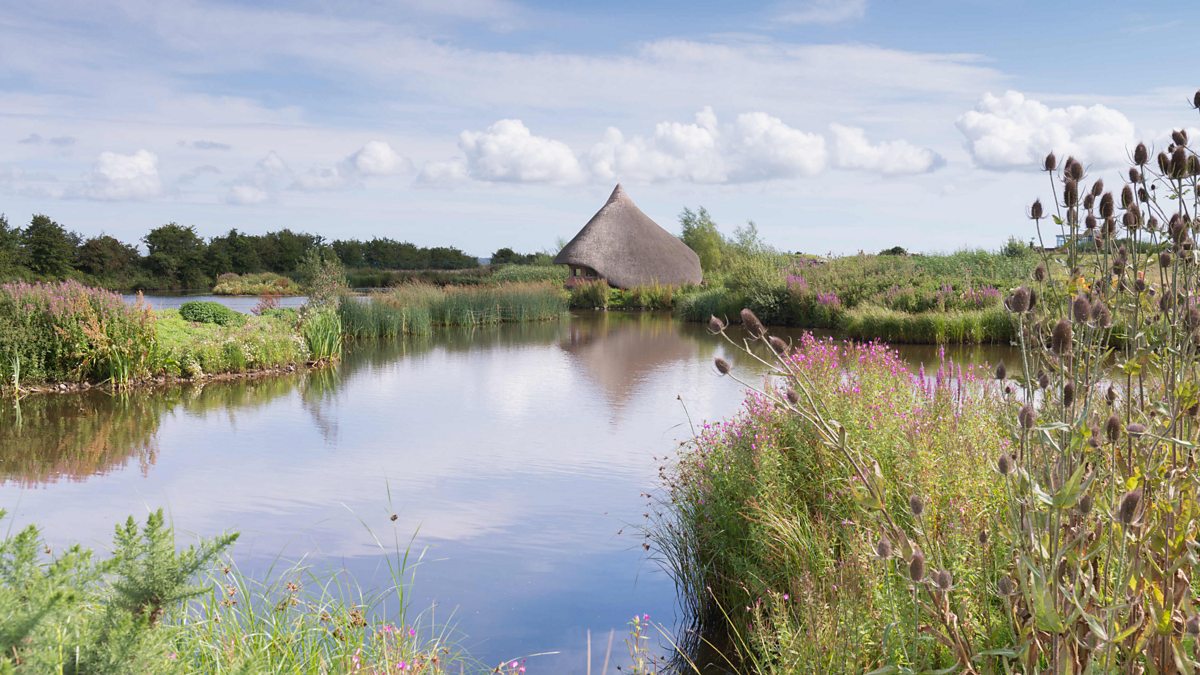 BAWN: CASTLE ESPIE in Castle EspieBAWN: CASTLE ESPIE · 2.2 mi
 Castle Espie Wetland CentreNature reserve · 2.6 mi
 Kiltonga Nature ReserveNature reserve · 2.9 mi
 Comber GreenwayWalking route · 3.8 mi