What is recorded here
Cock Island is a crannog in Lough Ramor, County Cavan, where an irregular seventy-metre platform still holds the rectangular foundations of a hut raised three metres above the water. That height kept the dwelling clear of seasonal flooding and visible from the lake, turning ordinary water into a defensible boundary. A person standing on that mound would have watched the lough breathe around them, knowing the island itself had been shaped to resist being taken.
Irregularly shaped island (dims. c. 70m NW-SE; c. 65m NE-SW) in Lough Ramor. Davies (ITA Survey 1940) recorded foundations of a rectangular hut site on a mound, c. 3m above the water-level of the lake.
The above description is derived from the published 'Archaeological Inventory of County Cavan' (Dublin: Stationery Office, 1995). In certain instances the entries have been revised and updated in the light of recent research.
Date of upload/revision: 22 December 2008
The monument record does not grant public access. Check the route and ask the landowner before entering private land.
- What survives
- Recorded monument
Places near here
 Cock IslandIslet · 26 yd
 Corlea Island SouthIslet · 145 yd
 Knockatemple WoodlandWood · 536 yd
 The Lady's CottageRuins · 1177 yd
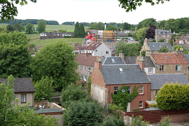 MoatCastle, motte and bailey · 1372 yd
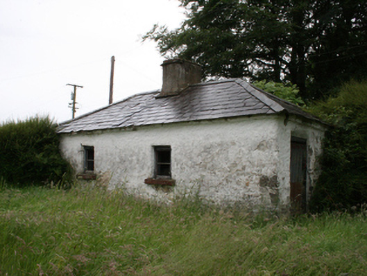 Lake View Househouse · 1452 yd
 Deerpark ForestForest · 1657 yd
 Welcome to VirginiaVisitor information · 1.0 mi
 Mass-rock in KnocknagartanMass-rock · 1.0 mi
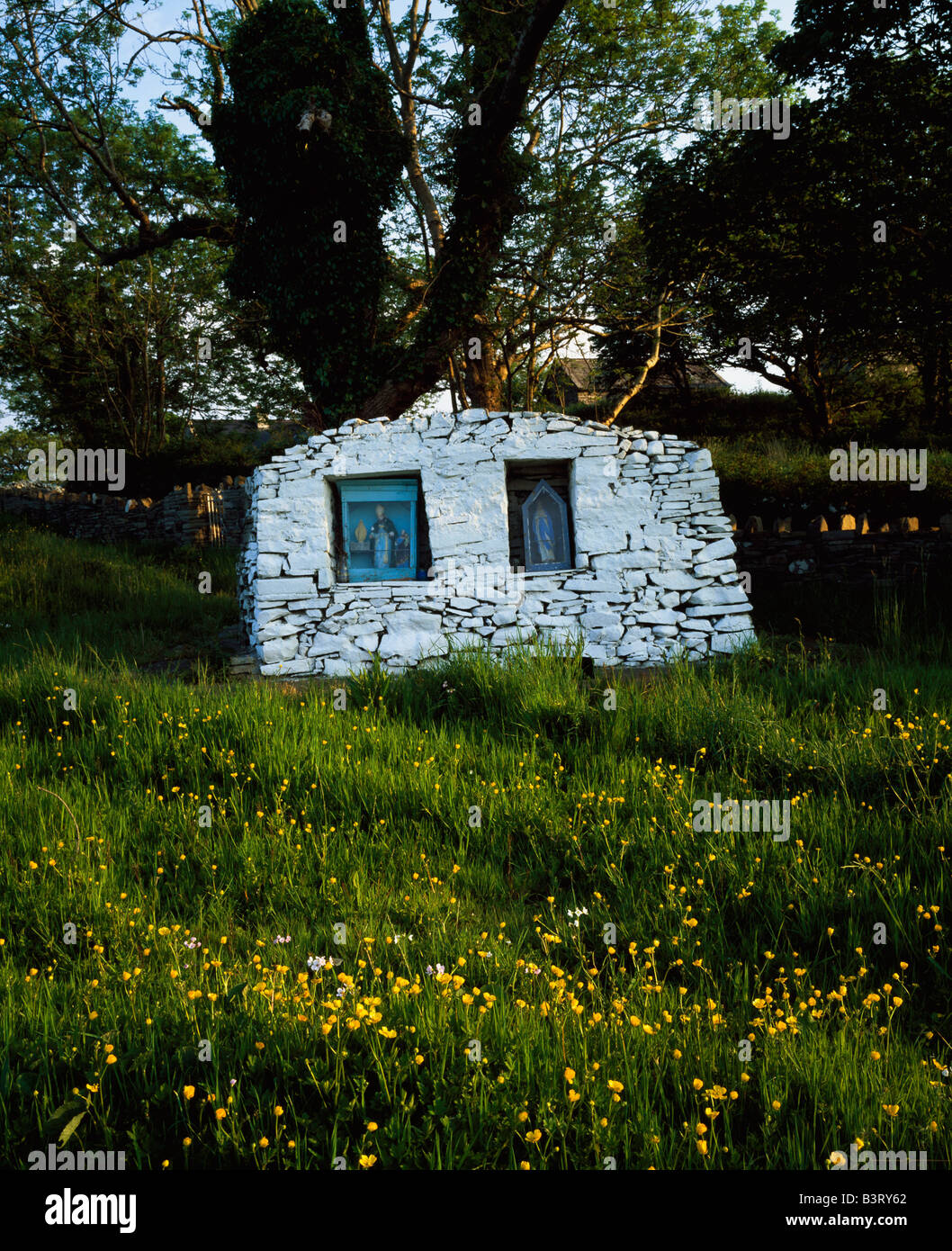 Holy well in KnocknagartanHoly well · 1.1 mi
 Ramor Aontaithe C.L.G. Dolan ParkMemorial · 1.2 mi
 Virginia Handball ClubMemorial · 1.2 mi