What is recorded here
Indicated marked a vanished stone causeway in Lough Conn, joining the east shore to Coarse Island before the lake claimed it back. The 1838 survey captured its rough line, yet later maps erased it, suggesting human hands built what the water removed. Recent drought exposed a natural dry bridge across that same hidden path, prompting a modern road to cross toward the island. The ancient causeway disappeared, but the lake still gives back enough shape for people to drive across its memory.
In Lough Conn. A causeway-like feature, depicted as a rough line of boulders, is indicated on the 1838 OS 6-inch map, extending into the lake from the E shoreline and ending 230m to SW at Coarse Island. It is not shown on later map editions. The location of the causeway has been subsumed into a natural bridge of dry land exposed as a result of a drop in the lake water levels in recent years. A modern road/causeway constructed of stone and gravel now extends across this spine of dry land to the island. No evidence of an ancient causeway is visible.
Compiled by: Jane O’Shaughnessy
Date of upload: 4 February 2020
The monument record does not grant public access. Check the route and ask the landowner before entering private land.
- What survives
- Recorded monument
Places near here
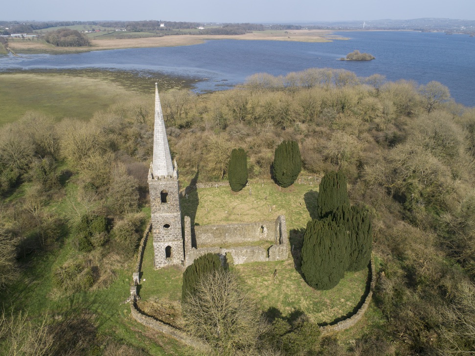 Church in Inishlee IslandChurch · 978 yd
 IndicatedFairy fort / earthen ringfort · 1058 yd
 Saint Teresa's Catholic Churchchurch/chapel · 1753 yd
 RathnashuppyFairy fort / earthen ringfort · 1.1 mi
 Castle Kelly (in Ruins)Castle, motte · 1.1 mi
 Roe IslandIslet · 1.7 mi
 Cloghans CastleCastle, tower house · 1.9 mi
 Castle IslandIslet · 2.0 mi
 Battle of Ballinabattle · 4.1 mi
 Titanic Memorial ParkMemorial · 4.5 miHumbert MonumentMemorial · 4.5 mi
 Belleek WoodsWood · 5.7 mi