What is recorded here
On a small level area with a stream flowing roughly E-W c. 30m to the N and a river flowing roughly N-S c. 30m to the E, the latter flows into the Dinin River to the S. Identified by Prendergast (OKR 1955, 10) and roughly located to a field in Coan village. When visited in 1987 the monument was not visible at ground level.
Compiled by: Jean Farrelly
Date of upload: 30 January 2019
The monument record does not grant public access. Check the route and ask the landowner before entering private land.
- What survives
- Recorded monument
Places near here
 Burn's Bridgebridge · 75 yd
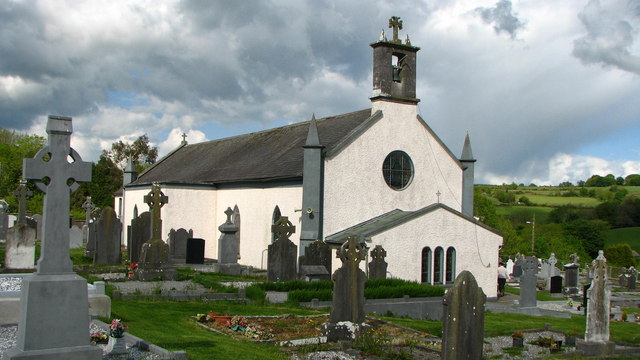 Saint Brigid's Catholic Churchchurch/chapel · 114 yd
 IndicatedBawn · 168 yd
 Uskerty WoodForest · 1.6 mi
 Glenmullen WoodWood · 2.8 mi
 Church (Site of) Graveyard St. LongorysChurch · 2.9 mi
 Grave YardGraveyard · 2.9 mi
 Clogharinka Castle (in ruins)Castle, unclassified · 3.0 mi
 Gallows HillMountain / peak · 3.1 mi
 Kilgorey Old BurialVisitor information · 3.1 mi
 Footprints In CoalMuseum · 3.8 mi
 Estate YardMemorial · 3.8 mi