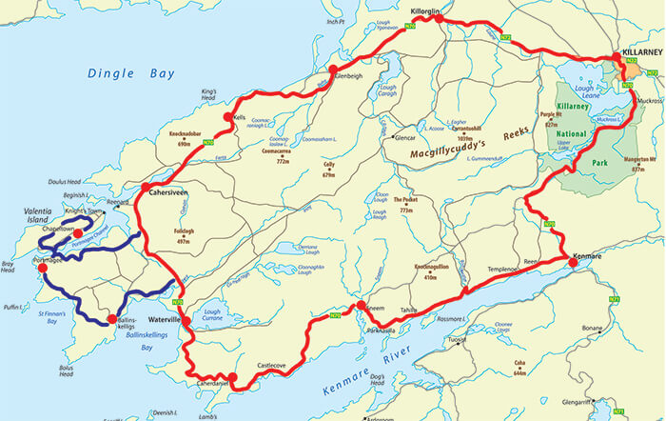
What is recorded here
Indicated is a circular earthen fort on a Kerry pasture ridge, its twenty-four-metre diameter still marked by a stone-and-earth bank though grass and forgotten work have swallowed the underground passage Cooke once found inside. The laun water moves through the land around it, and the old boundary rises above that living country like a room left behind. To walk its western gap is to enter a place where human hands shaped the earth before memory cleared, not a dead monument but a residence awaiting recognition.
Internal diam. 23.5m N-S, 24m E-W
This rath is located on a natural rise in pastureland drained by numerous tributaries of the Laune river. It comprises a fairly well-preserved bank and traces of an external fosse. It is heavily overgrown, and the Man-made underground passage noted by Cooke in the site's interior (1906, 2-3) cannot now be located. The fosse is best preserved in the NE sector, where it is 1m wide and .3m deep. At NW it is obscured by field clearance material which is piled against the bank. The bank, of stone and earth, has an average external height of 1.65m and a basal width of 2.4m. It falls on average 1m to the interior of the site. Traces of external drystone revetting survive along the N sector. A possible entrance gap, measuring 2.3m wide, is located at W.
The above description is derived from A. O'Sullivan and J. Sheehan (compilers), 'The Iveragh peninsula: an archaeological survey of South Kerry'. Cork University Press (1996), no. 488. In certain instances the entries have been revised and updated in the light of recent research.
Date of upload: 28 July 2013
The monument record does not grant public access. Check the route and ask the landowner before entering private land.
- What survives
- Recorded monument
Places near here
 IndicatedFairy fort / earthen ringfort · 363 yd
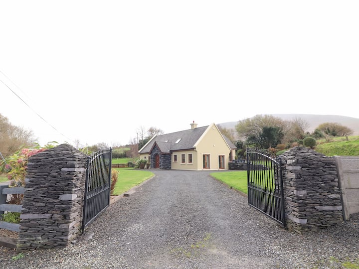 Man-made underground passage in Cullenagh UpperMan-made underground passage · 853 yd
 Castle Core (in Ruins)Castle, tower house · 1070 yd
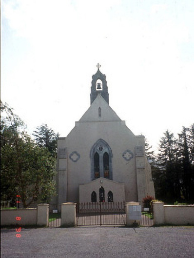 Saint Mary's Catholic Churchchurch/chapel · 1204 yd
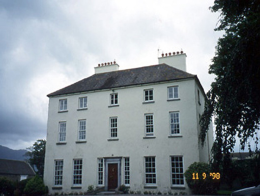 Churchtown Housecountry house · 1263 yd
 Dunloe Ogham StonesHeritage attraction · 1.4 mi
 Japanese pagoda treeJapanese pagoda tree · 1.7 mi
 European YewEuropean Yew · 1.7 mi
 Castle (in Ruins)Castle, tower house · 1.7 mi
 Tomies Mountain North TopMountain / peak · 3.0 mi
 Cnoc an BhrácaMountain / peak · 3.4 mi
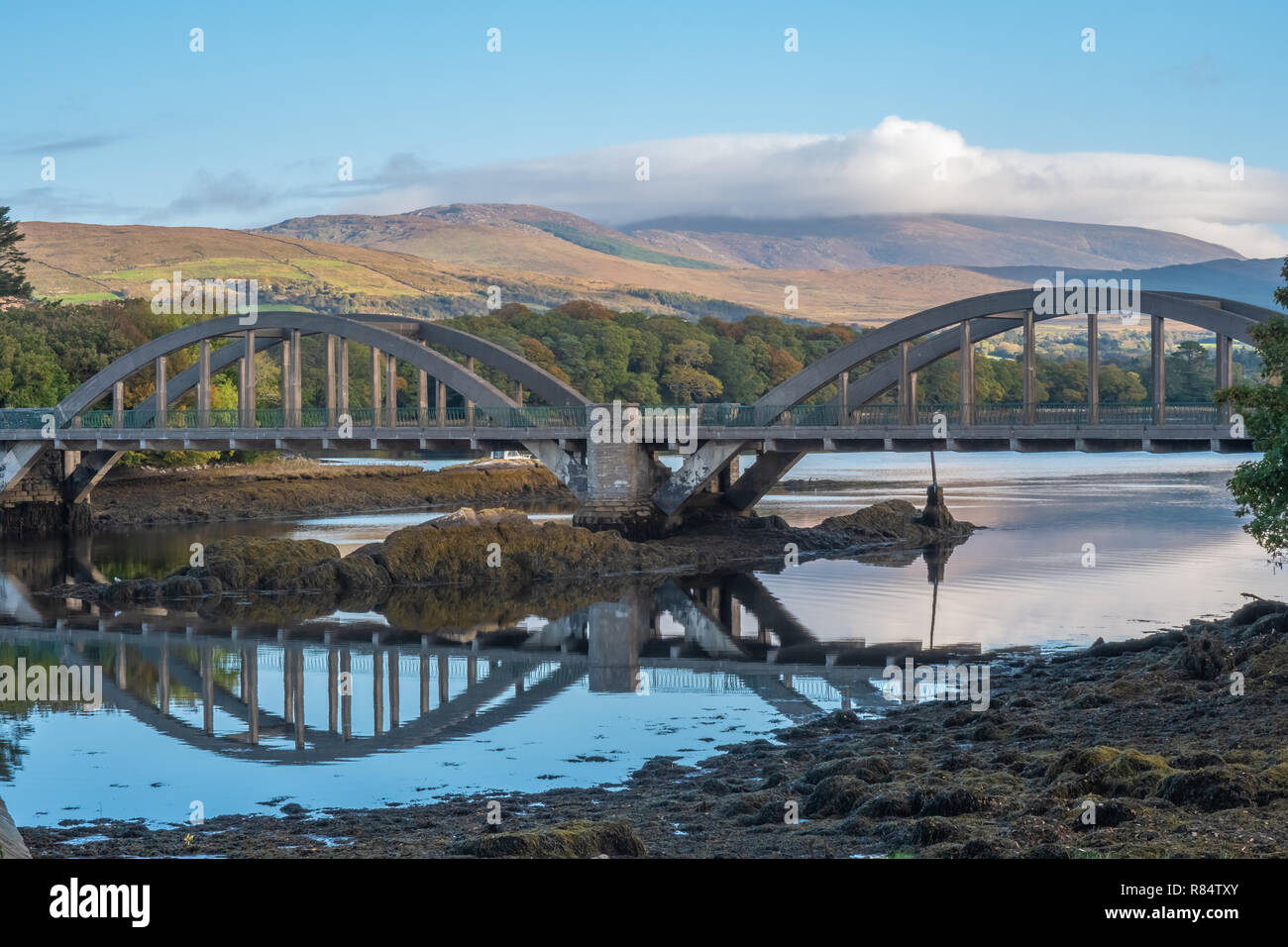 Very small BridgeHeritage attraction · 3.7 mi
Other information
Photo: Credit not shown in the picture search · Rights wording not checked; contact us if this picture should be removed