What is recorded here
Cloonyconaun holds a broken ring on a ridge end, where a field boundary now cuts through what remained of the fort. The surviving banks curve like a forgotten gesture instead of a complete circle, leaving a gap at the southeast that may have been the entrance. People probably lived, argued, buried markers or abandoned the place entirely before the land was divided. The fort no longer speaks in dates, but it still shows the shape of human urgency pressed into Galway soil.
On E end of a ridge. Poorly preserved irregularly shaped rath (WNW-ESE 21m) defined by an inner bank from W to NW and from E to S. Traces of an intervening fosse and outer bank survive from W to N. The td. boundary cuts the monument at S and W, and no visible surface trace survives to SW of it. A gap at SE could be original.
The above description is derived from the published 'Archaeological Inventory of County Galway Vol. II - North Galway'. Compiled by Olive Alcock, Kathy de hÓra and Paul Gosling (Dublin: Stationery Office, 1999).
Date of upload: 05 August 2010
The monument record does not grant public access. Check the route and ask the landowner before entering private land.
- What survives
- Recorded monument
Places near here
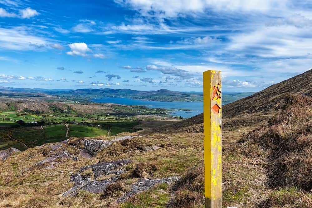 IndicatedField system · 911 yd
 ToberdoneyHoly well · 1415 yd
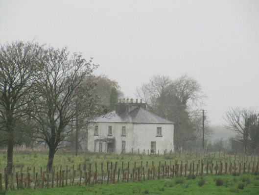 Rathglass Housecountry house · 1.3 mi
 BenmoreHouse, 18th/19th century · 1.5 mi
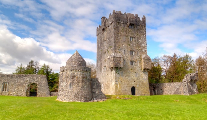 CastleCastle, unclassified · 2.0 mi
 Galboley Castle (in ruins)Castle, unclassified · 2.7 mi
 Turoe StoneHeritage attraction · 2.8 mi
 Woodlawn WoodsForest · 3.3 mi
 European Crab AppleEuropean Crab Apple · 3.6 mi
 Dartfield Horse MuseumHeritage attraction · 4.3 mi
 Battle of Aughrim Interpretative CentreMuseum · 8.2 mi
 Battle of AughrimMajor battlefield · 8.4 mi