
What is recorded here
No consistent interactive information and example provided.
On E side of stream, between it and southern foothills of Maulin Hill, peat cutting has revealed stone walls, constructed on underlying mineral soil. Most northerly wall (H 0.2m; Wth 1m) consists of rough line of stones, extending c. NE-SW for 16.5m; contains many upright slabs at right angle to line of wall. Runs into turf bank (H 0.2m) at NE end. Possible to follow further 25m as uprights protrude above peat surface, ending at second turf bank (H 0.2m). Second similar wall (L 12.6m) parallel to first, lies 7.6m to S. Wedge tomb (CO115-057---) 156m to E.
The above description is derived from the published 'Archaeological Inventory of County Cork. Volume 1: West Cork' (Dublin: Stationery Office, 1992). In certain instances the entries have been revised and updated in the light of recent research.
Date of upload/revision: 14 January 2009
The monument record does not grant public access. Check the route and ask the landowner before entering private land.
- What survives
- Recorded monument
Places near here
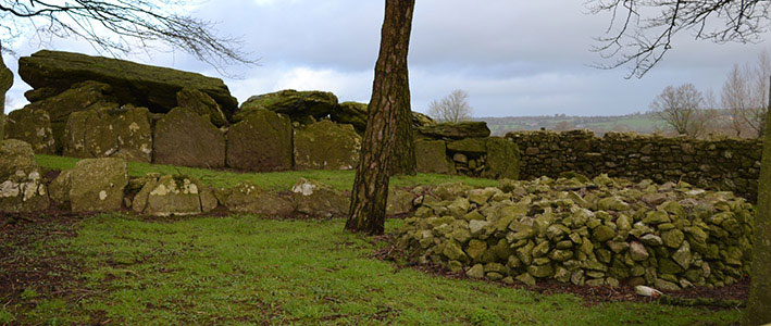 Wedge tomb in CloontreemWedge tomb · 170 yd
 Hut site in CloontreemHut site · 236 yd
 Eagle HillMountain / peak · 983 yd
 Beara WayWalking route · 1121 yd
 Aghakista BrBridge · 1.6 mi
 Tuck Mill (Disused)Mill, fulling · 1.6 mi
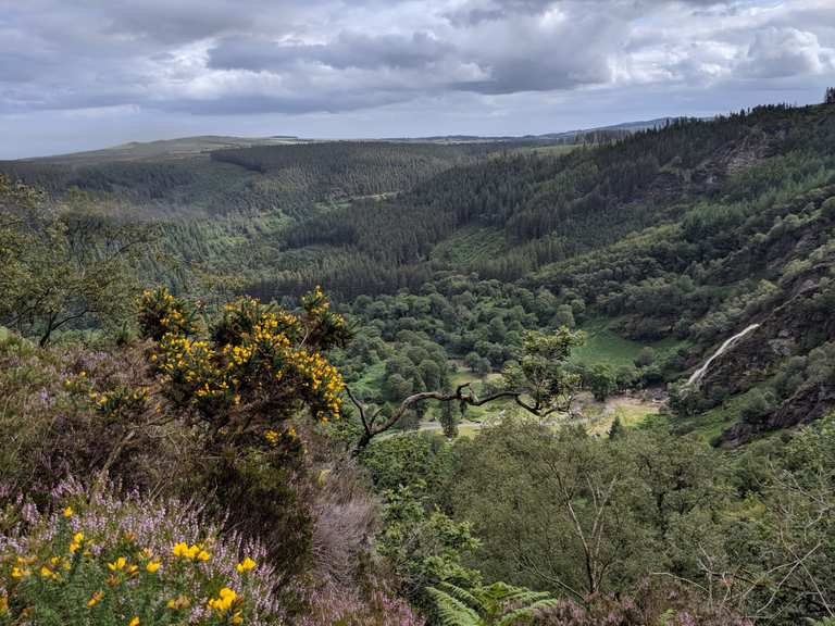 MaulinMountain / peak · 1.7 mi
 Berehaven Battalion MemorialMemorial · 2.0 mi
 Minane IslandIslet · 2.0 mi
 Dinish IslandIslet · 2.1 mi
 Sarah Walker GalleryGallery · 2.1 mi
 Burial ground in DerrycreeveenBurial ground · 2.9 mi
Other information
Photo: Credit not shown in the picture search · Rights wording not checked; contact us if this picture should be removed