What is recorded here
Indicated is a fairy fort or earthen ringfort in Cloonteem, County Roscommon, Ireland. Susan Curran first identified the site for a University College Dublin thesis using a LiDAR survey commissioned by Leitrim County Council and the National Roads Authority. The circular grass-covered area measures about 23 metres across and has a low earthen bank that becomes a scarp on the eastern side.
Situated in improved pasture on a low rise. It was first identified by Susan Curran as part of an M.A. thesis with University College Dublin using a LiDAR survey dataset commissioned by Leitrim County Council and the National Roads Authority. It is indicated as a small subrectangular field on the 1837 and 1912 eds of the OS 6-inch map. This is a circular grass-covered area (diam. 23m NW-SE; 22m NE-SW) defined by a low earthen bank (at SW: Wth of base 5.9m; Wth of top 2m; int. H 0.25m; ext. H 0.2m) S-NW, which is reduced to scarp (at NE: Wth 5.4m; H 0.75m) N-E-S, but the perimeter merges into the slope NW-N. There is no visible entrance or fosse.
Compiled by: Michael Moore
Date of upload: 12 May 2015
The monument record does not grant public access. Check the route and ask the landowner before entering private land.
- What survives
- Recorded monument
Places near here
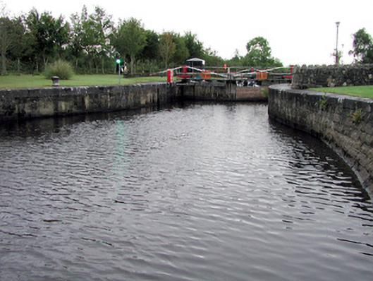 Albert Locklock · 348 yd
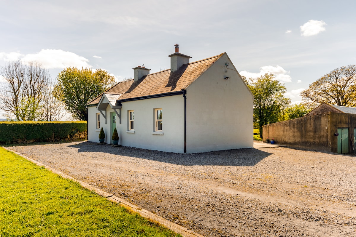 Enclosure in CloonteemEnclosure · 742 yd
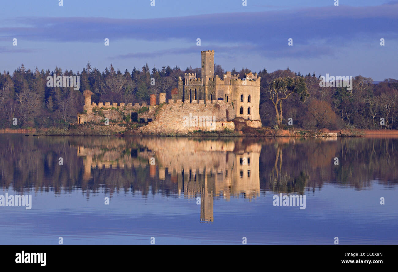 IndicatedFairy fort / earthen ringfort · 1032 yd
 Wildlife AreaNature reserve · 1066 yd
 Tom Dunphy MemorialMemorial · 1141 yd
 Church (in Ruins)Church · 1177 yd
 Patrick Gill Memorial Plaque (IRA)Monument · 1620 yd
 Site of Dangan CastleCastle, unclassified · 1.9 mi
 InishmoylinIslet · 3.1 mi
 Coarse IslandForest · 3.3 mi
 Dockery's IslandIslet · 3.4 mi
 CastlecarraCastle, unclassified · 3.8 mi